UN/LOCODE hub · United Kingdom
GBPGD
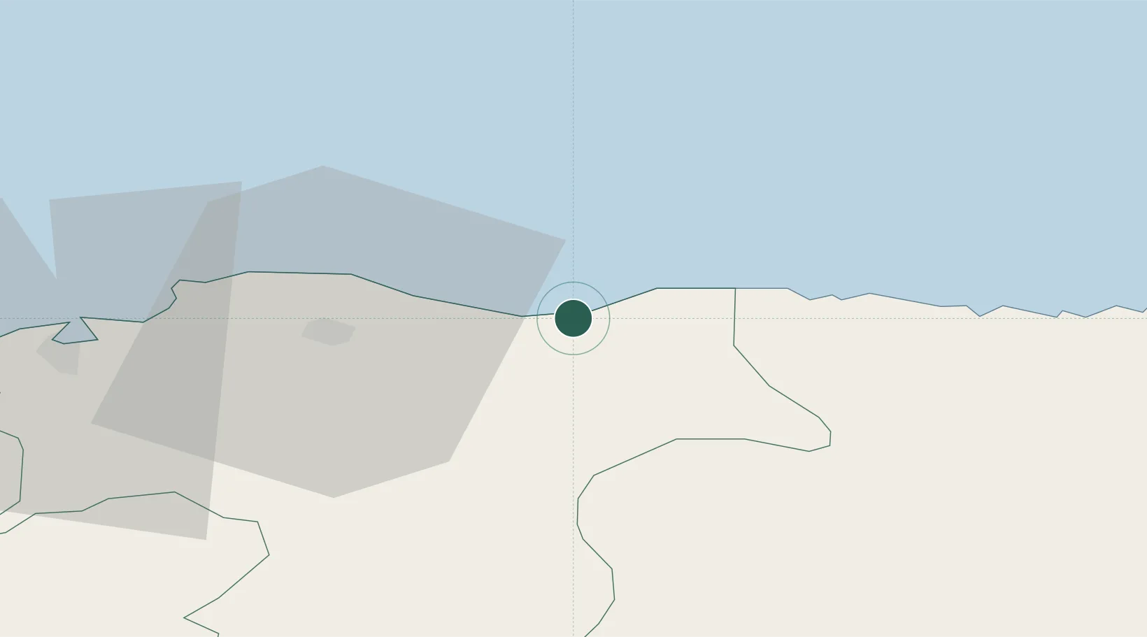
Portgordon
57.6667°, -3.0167°
850
Population
1
Transport functions
Transport Functions
Port
Hub Profile
Place type
Populated place
Region
Scotland
Population
850
Time zone
Europe/London
Elevation
6 m
Location
Nearby Logistics Neighbours
Cities
- 1Buckie3 km
- 2Findochty8 km
- 3Portknockie10 km
- 4Lossiemouth16 km
- 5Elgin19 km
Ports
- 1Buckie Harbor4 km
- 2Lossiemouth17 km
- 3Burghead29 km
- 4Macduff31 km
- 5Portmahomack Harbor52 km
Airports
- 1RAF Lossiemouth20 km
- 2Inverness Airport63 km
- 3Aberdeen International Airport71 km
- 4Wick John O'Groats Airport88 km
- 5Dundee Airport135 km
Trade Zones
DatabookThe Record of Consolidated Knowledge
United Kingdom beyond logistics?