UN/LOCODE hub · United Kingdom
GBPKN
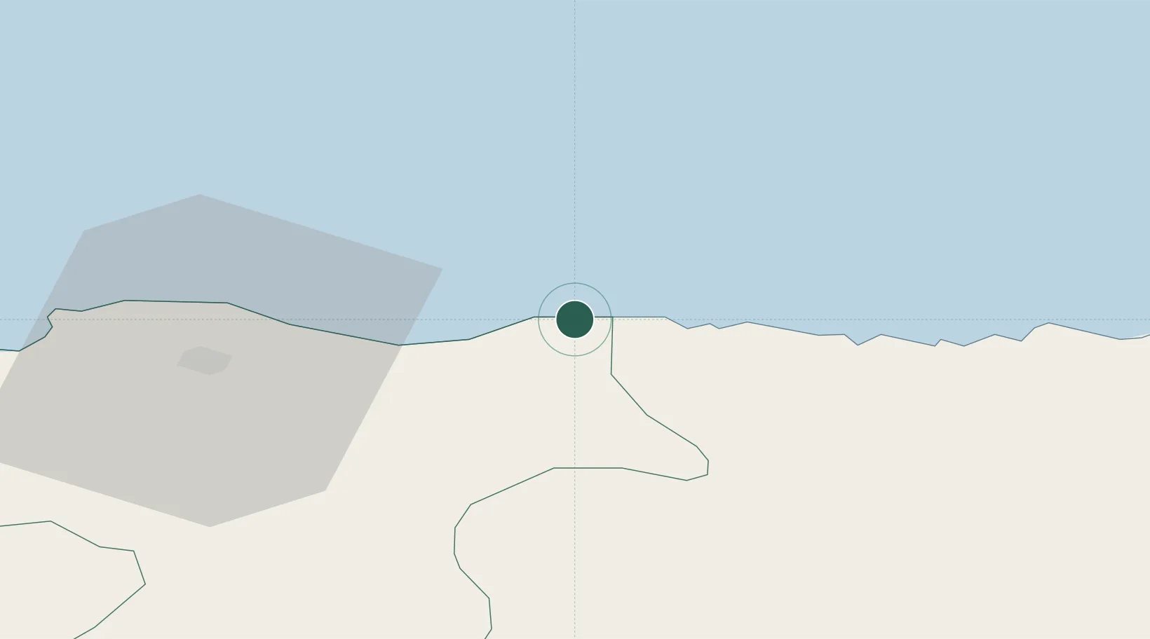
Portknockie
57.7000°, -2.8667°
1,270
Population
2
Transport functions
Transport Functions
Port
Road
Hub Profile
Place type
Populated place
Region
Scotland
Population
1,270
Time zone
Europe/London
Elevation
42 m
Location
Nearby Logistics Neighbours
Cities
- 1Findochty2 km
- 2Buckie7 km
- 3Portgordon10 km
- 4Portsoy11 km
- 5Whitehills18 km
Ports
- 1Buckie Harbor6 km
- 2Macduff22 km
- 3Lossiemouth25 km
- 4Burghead38 km
- 5Fraserburgh Harbor52 km
Airports
- 1RAF Lossiemouth28 km
- 2Aberdeen International Airport68 km
- 3Inverness Airport73 km
- 4Wick John O'Groats Airport85 km
- 5Dundee Airport139 km
Trade Zones
DatabookThe Record of Consolidated Knowledge
United Kingdom beyond logistics?