Seaport · Finland
TurkuFITKU
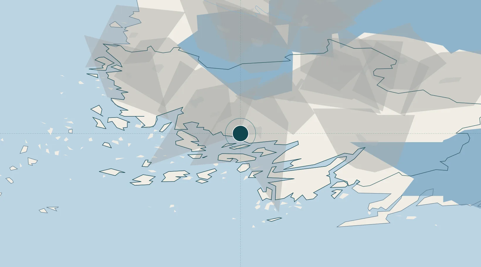
60.4500°, 22.2333°
9.4 m
Channel depth
2
Container terminals
12.1
Port liner connectivity
Channel & Berth Profile
Pilotage, Tugs & Services
Pilotage compulsoryNO
Pilotage availableYES
Pilotage advisableYES
Tug assistanceYES
Salvage tugsNO
Shore powerYES
Potable waterYES
Diesel bunkersYES
MedicalYES
Garbage disposalYES
Facilities & Capabilities
ContainerYES
Ro-RoYES
Liquid bulkYES
Dry bulkYES
Oil terminalNO
Break bulkYES
Dry dockNO
RepairsNO
BunkeringYES
Rail linkYES
Dangerous cargo—
ISPS security—
Harbour Specifications
Harbour size
Medium
Harbour type
River (Basins)
Shelter
Good
Water body
Baltic Sea; North Atlantic Ocean
Overhead limit
Yes
Pilotage
No
Liner Connectivity
12.1
PLSCI
Port Liner Shipping Connectivity Index for Turku, as published by UNCTAD for the latest available quarter. Higher values indicate stronger scheduled liner-shipping integration.
Shown relative to the highest per-port PLSCI in the dataset (1,657.9).
Location
Container Terminals · 2
TURKU PANSIO HARBOUR
FSTP FINNSTEVE OY AB
TURKU WEST HARBOUR
FSTW FINNSTEVE OY AB
Nearby Logistics Neighbours
Ports
- 1Naantali12 km
- 2Pargas21 km
- 3Uusikaupunki60 km
- 4Hanko81 km
- 5Ekenas84 km
Cities
- 1Vanhalinna8 km
- 2Littoinen9 km
- 3Naantali (Nådendal)11 km
- 4Piikkiö16 km
- 5Parainen (Pargas)17 km
Airports
- 1Turku Airport7 km
- 2Pori Airport115 km
- 3Tampere-Pirkkala Airport130 km
- 4Helsinki Vantaa Airport151 km
- 5Kärdla Airport166 km
Trade Zones
- 1Turku Free Zone1 km
- 2Freeport of Hanko78 km
- 3Paldiski Free Zone161 km
- 4Muuga Free Zone201 km
- 5Port of Hamina-Kotka258 km
DatabookThe Record of Consolidated Knowledge
Finland beyond logistics?