Medium airport · Estonia
Kärdla AirportEEKA
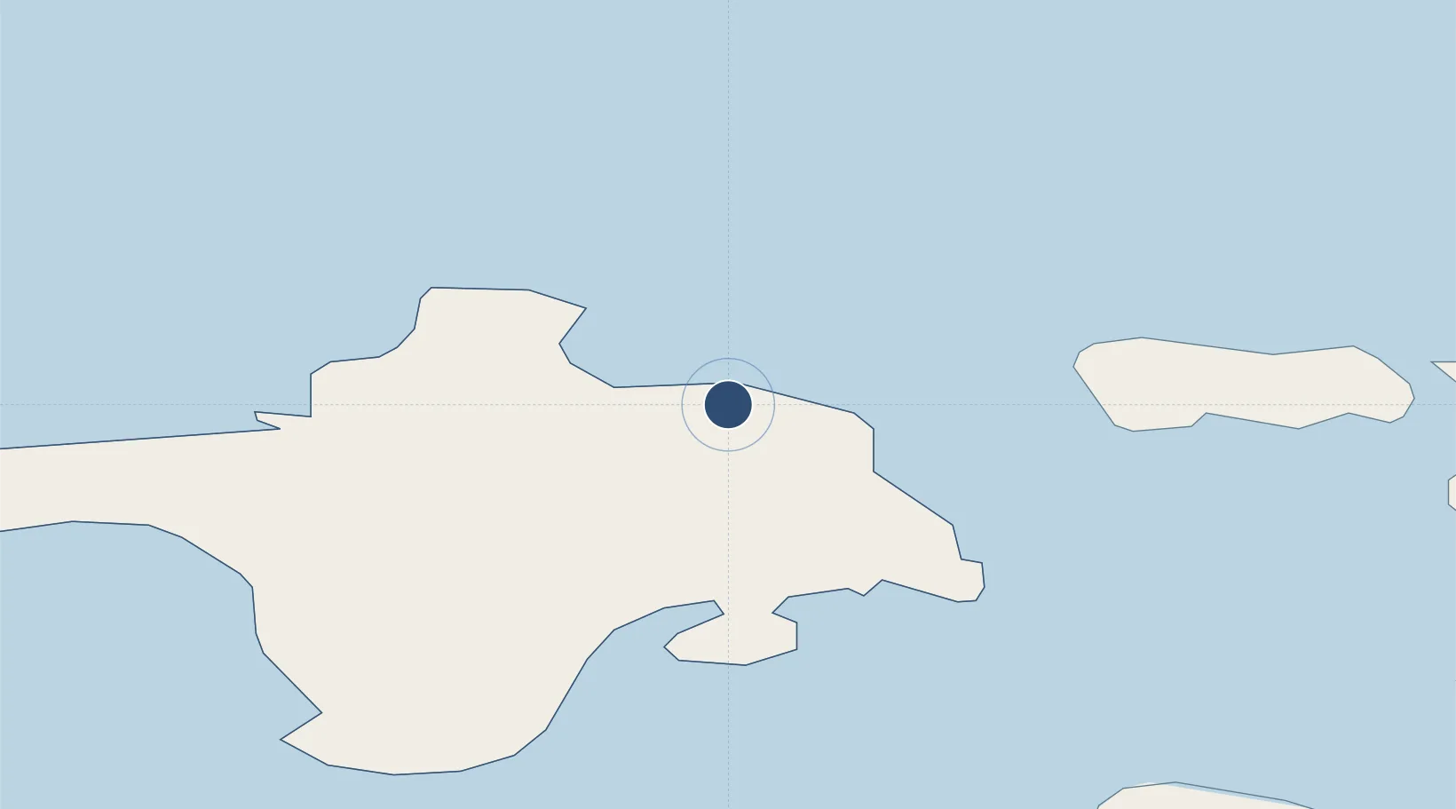
58.9908°, 22.8307°
4,987 ft
Longest runway
1
Runways
18 ft
Elevation
Runway & Layout

Radio Frequencies
AFIS
133.405 MHz
Kärdla INFO
Navaids
OZ NDB Kardla 317 kHz
Runways · 1
| Runway | Dimensions | Surface | True heading | Lit |
|---|---|---|---|---|
| 14/32 | 4,987 × 98ft | Asphalt | 147° | ✓ |
Airport Specifications
IATA code
KDL
ICAO code
EEKA
Airport class
Medium airport
Scheduled service
Yes
Runway surface
Asphalt
Served city
Kärdla
Location
Nearby Logistics Neighbours
Airports
- 1Ämari Air Base84 km
- 2Kuressaare Airport87 km
- 3Pärnu Airport114 km
- 4Tallinn Linnahall Heliport121 km
- 5Lennart Meri Tallinn Airport123 km
Cities
- 1Roograhu1 km
- 2Hiiessaare2 km
- 3Kärdla5 km
- 4Suursadam6 km
- 5Salinõmme Paadisadam7 km
Ports
- 1Heltermaa19 km
- 2Rohukula35 km
- 3Osmussaar46 km
- 4Virtsu61 km
- 5Saaremaa sadam61 km
Trade Zones
- 1Paldiski Free Zone81 km
- 2Freeport of Hanko93 km
- 3Muuga Free Zone129 km
- 4Turku Free Zone165 km
- 5Free port of Ventspils193 km
DatabookThe Record of Consolidated Knowledge
Estonia beyond logistics?