Transport Functions
Rail
Road
Multimodal
Hub Profile
Place type
Populated place
Region
Southwest Finland
Time zone
Europe/Helsinki
Elevation
36 m
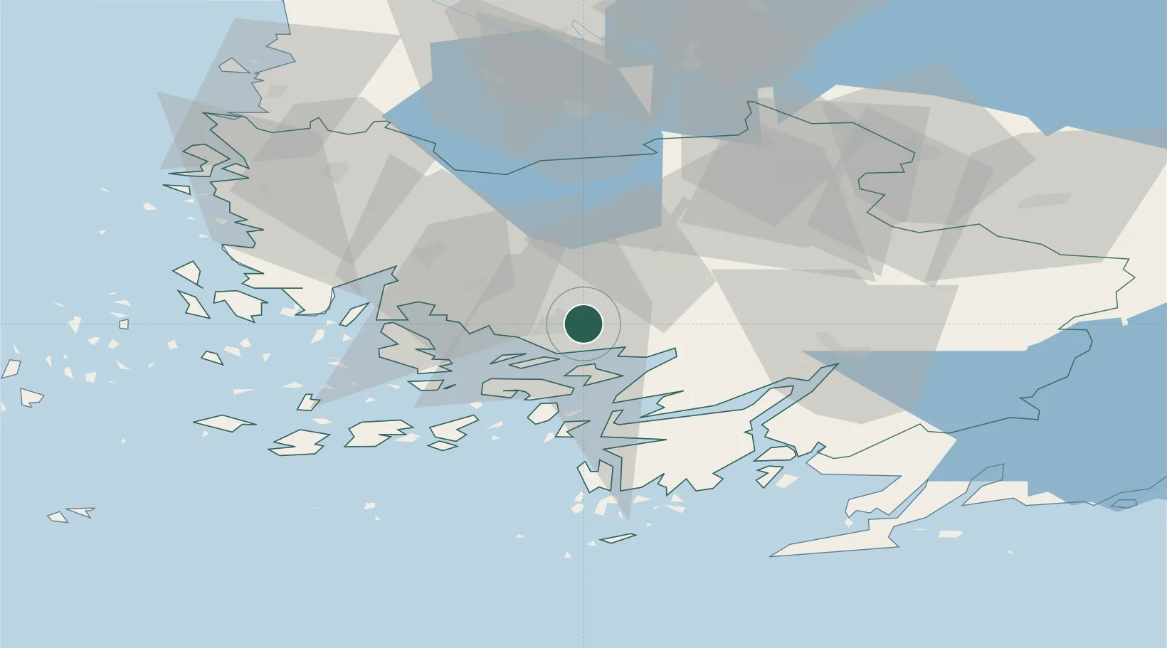
Location
Nearby Logistics Neighbours
Cities
- 1Littoinen4 km
- 2Piikkiö9 km
- 3Åbo (Turku)10 km
- 4Lielax17 km
- 5Aura18 km
Ports
- 1Turku8 km
- 2Naantali19 km
- 3Pargas26 km
- 4Uusikaupunki64 km
- 5Hanko79 km
Airports
- 1Turku Airport8 km
- 2Pori Airport115 km
- 3Tampere-Pirkkala Airport125 km
- 4Helsinki Vantaa Airport144 km
- 5Kärdla Airport166 km
Trade Zones
- 1Turku Free Zone9 km
- 2Freeport of Hanko76 km
- 3Paldiski Free Zone158 km
- 4Muuga Free Zone197 km
- 5Port of Hamina-Kotka251 km
DatabookThe Record of Consolidated Knowledge
Finland beyond logistics?