Transport Functions
Port
Multimodal
Hub Profile
Region
19
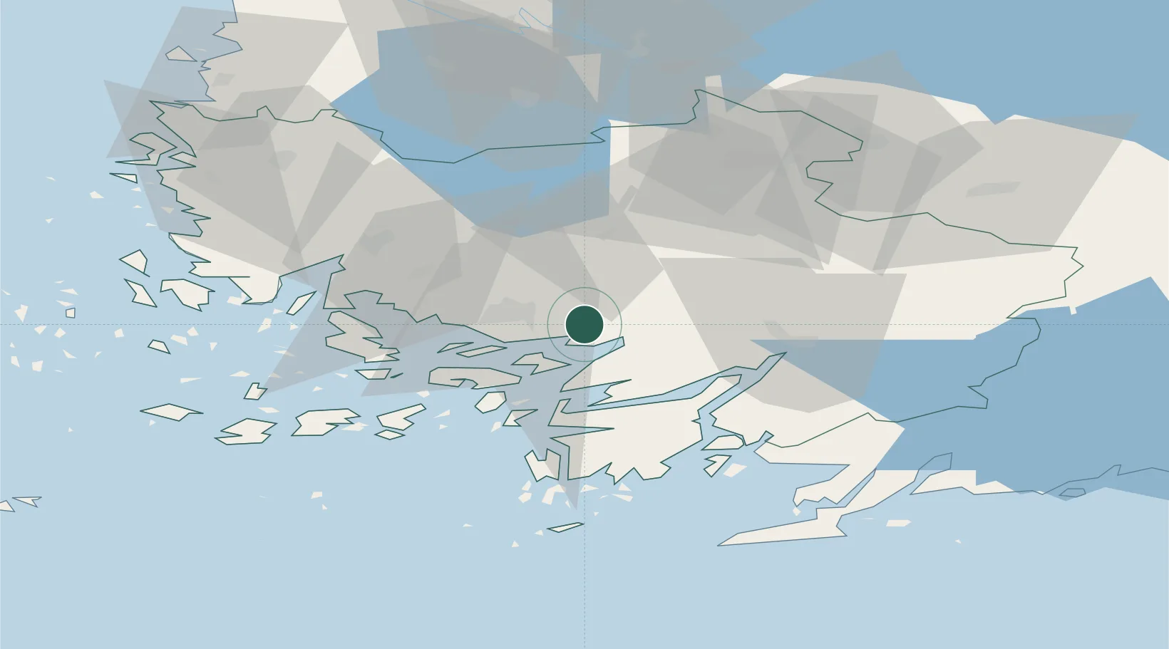
Location
Nearby Logistics Neighbours
Cities
- 1Littoinen6 km
- 2Vanhalinna9 km
- 3Sauvo14 km
- 4Lielax15 km
- 5Åbo (Turku)17 km
Airports
- 1Turku Airport17 km
- 2Pori Airport121 km
- 3Tampere-Pirkkala Airport124 km
- 4Helsinki Vantaa Airport135 km
- 5Ämari Air Base161 km
Trade Zones
- 1Turku Free Zone17 km
- 2Freeport of Hanko70 km
- 3Paldiski Free Zone150 km
- 4Muuga Free Zone188 km
- 5Port of Hamina-Kotka243 km
DatabookThe Record of Consolidated Knowledge
Finland beyond logistics?