UN/LOCODE hub · Finland
FINLI

Naantali (Nådendal)

60.4500°, 22.0333°
1
Transport functions

Transport Functions

Port
Naantali (Nådendal) is also a profiled seaport →
UN/LOCODE

Hub Profile

Region
19
GeoNames

Location

Location of FINLI
Natural Earth 10m (public domain) · 19 · FINLI · 60.45, 22.03GoogleOSMYandex

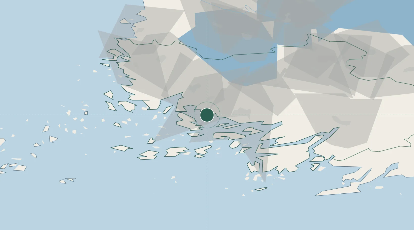
Nearby Logistics Neighbours

Cities
  1. 1Åbo (Turku)9 km
  2. 2Rimito (Rymättylä)10 km
  3. 3Nousiainen (Nousis)17 km
  4. 4Vanhalinna18 km
  5. 5Velkua20 km
Nearest neighbours — logibook spatial index (haversine) over the source coordinates
Ports
  1. 1Turku11 km
  2. 2Pargas19 km
  3. 3Uusikaupunki52 km
  4. 4Rauma82 km
  5. 5Uto83 km
Nearest neighbours — logibook spatial index (haversine) over the source coordinates
Airports
  1. 1Turku Airport15 km
  2. 2Pori Airport113 km
  3. 3Tampere-Pirkkala Airport137 km
  4. 4Helsinki Vantaa Airport162 km
  5. 5Kärdla Airport168 km
Nearest neighbours — logibook spatial index (haversine) over the source coordinates
Trade Zones
  1. 1Turku Free Zone10 km
  2. 2Freeport of Hanko84 km
  3. 3Paldiski Free Zone168 km
  4. 4Muuga Free Zone210 km
  5. 5Stockholm Free Zone251 km
Nearest neighbours — logibook spatial index (haversine) over the source coordinates
DatabookThe Record of Consolidated Knowledge
Finland beyond logistics?
Browse databook

All Sources

LocationsUN/LOCODE
UN/LOCODE — free
Portsthe NGA World Port Index
Public domain (US gov)
AirportsOurAirports
Public domain
Trade Zonesthe World Bank SEZ database
CC BY 4.0
Trade ZonesOpen Zone Map
CC BY
← Finland locations