Large airport · Finland
Helsinki Vantaa AirportEFHK
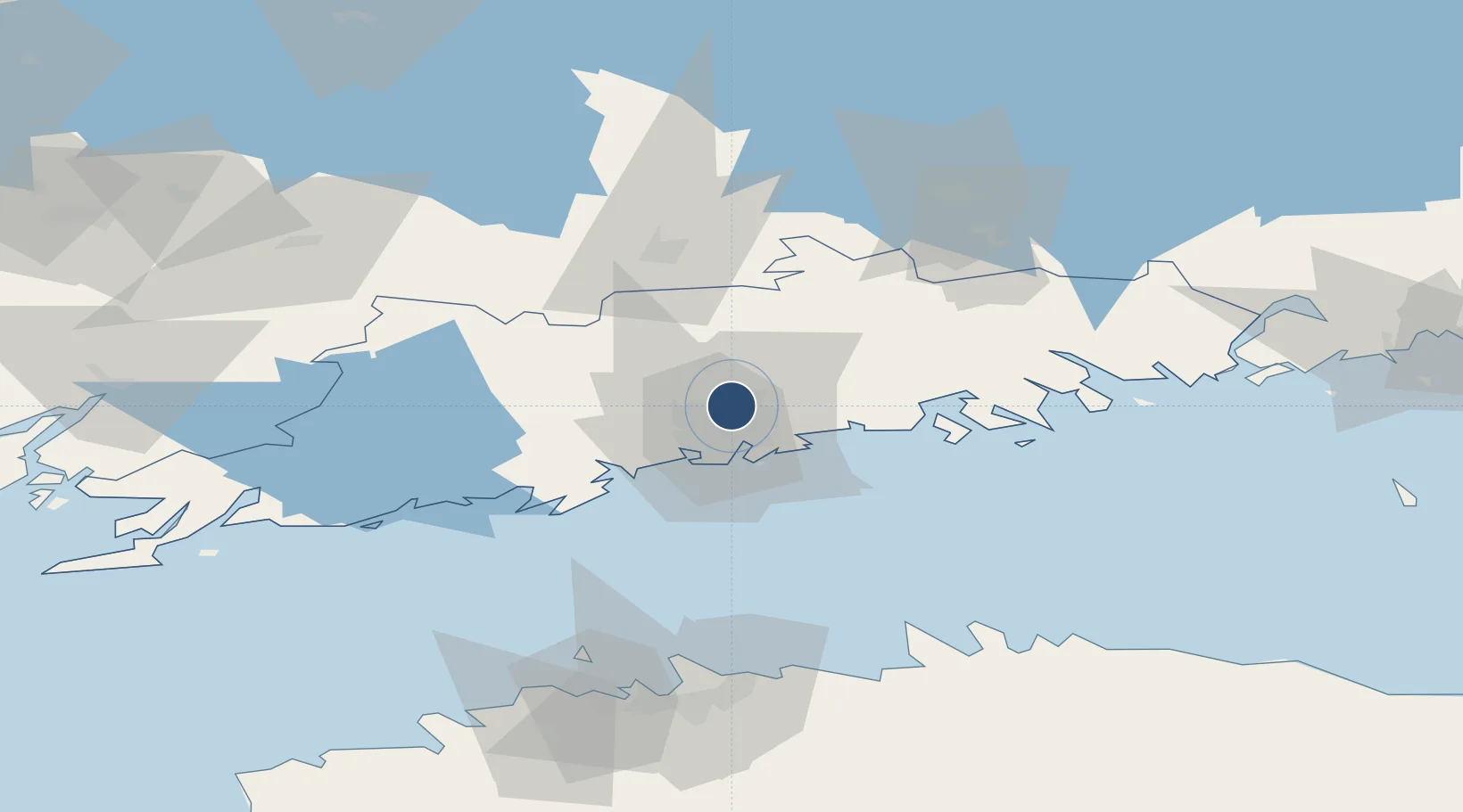
60.3184°, 24.9633°
11,286 ft
Longest runway
3
Runways
179 ft
Elevation
Runway & Layout

Radio Frequencies
ATIS
114.2 MHz
HEL VOR
ATIS
135.075 MHz
TWR
118.6 MHz
22L/04R and 15/33
TWR
118.85 MHz
22R/04L
GND
121.8 MHz
DEL
118.125 MHz
APP
119.1 MHz
APP
129.85 MHz
PMSV
125.1 MHz
PMSV METRO
RMP
121.65 MHz
Navaids
ESP NDB Espoo 381 kHz
HEL VOR-DME Helsinki 114.20 MHz
KOR NDB Korso 322 kHz
Runways · 3
| Runway | Dimensions | Surface | True heading | Lit |
|---|---|---|---|---|
| 04R/22L | 11,286 × 197ft | Asphalt | 048° | ✓ |
| 04L/22R | 10,039 × 197ft | Asphalt | 048° | ✓ |
| 15/33 | 9,518 × 197ft | Asphalt | 154° | ✓ |
Airport Specifications
IATA code
HEL
ICAO code
EFHK
Airport class
Large airport
Scheduled service
Yes
Runway surface
Asphalt
Served city
Helsinki (Vantaa)
Location
Nearby Logistics Neighbours
Airports
- 1Helsinki East-Redstone Aerodrome91 km
- 2Tallinn Linnahall Heliport98 km
- 3Lennart Meri Tallinn Airport101 km
- 4Ämari Air Base125 km
- 5Utti Air Base126 km
Cities
- 1Tikkurila (Dickursby)4 km
- 2Malmi8 km
- 3Vuosaari (Nordsjö)17 km
- 4Helsingfors (Helsinki)17 km
- 5Sibbo (Sipoo)18 km
Trade Zones
- 1Port of Hamina-Kotka110 km
- 2Muuga Free Zone114 km
- 3Paldiski Free Zone120 km
- 4Freeport of Hanko128 km
- 5Turku Free Zone152 km
DatabookThe Record of Consolidated Knowledge
Finland beyond logistics?