Medium airport · Finland
Pori AirportEFPO
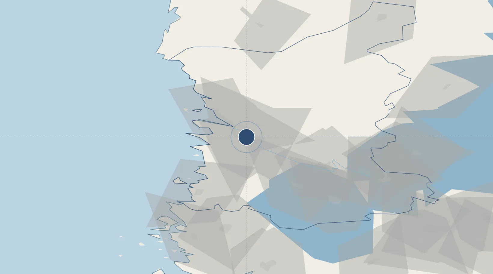
61.4617°, 21.8000°
7,713 ft
Longest runway
2
Runways
44 ft
Elevation
Runway & Layout

Radio Frequencies
ATIS
136.075 MHz
TWR
119.25 MHz
APP
128.65 MHz
Navaids
FR NDB Foxtrot Romero 375 kHz
POR NDB Pori 341 kHz
PRI VOR-DME Previk 113.20 MHz
Runways · 2
| Runway | Dimensions | Surface | True heading | Lit |
|---|---|---|---|---|
| 12/30 | 7,713 × 197ft | Asphalt | 126° | ✓ |
| 17/35 | 2,628 × 98ft | Asphalt | 174° | — |
Airport Specifications
IATA code
POR
ICAO code
EFPO
Airport class
Medium airport
Scheduled service
Yes
Runway surface
Asphalt
Served city
Pori
Location
Nearby Logistics Neighbours
Airports
- 1Tampere-Pirkkala Airport96 km
- 2Turku Airport108 km
- 3Kauhajoki Airfield116 km
- 4Seinäjoki Airport147 km
- 5Halli Airport164 km
Cities
- 1Björneborg (Pori)2 km
- 2Ulvila5 km
- 3Luvia16 km
- 4Mäntyluoto23 km
- 5Reposaari25 km
Ports
- 1Pori2 km
- 2Mantyluoto23 km
- 3Tahkoluoto29 km
- 4Rauma42 km
- 5Uusikaupunki77 km
Trade Zones
- 1Turku Free Zone115 km
- 2Freeport of Hanko191 km
- 3Paldiski Free Zone268 km
- 4Port of Hamina-Kotka298 km
- 5Muuga Free Zone299 km
DatabookThe Record of Consolidated Knowledge
Finland beyond logistics?