UN/LOCODE hub · Finland
FITKU

Åbo (Turku)

60.4416°, 22.2009°
3
Transport functions
2
Container terminals

Transport Functions

Port
Road
Airport
Åbo (Turku) is also a profiled seaport →
UN/LOCODE

Hub Profile

Region
19
GeoNames
Logistics facilities
3
UN/LOCODE
Container terminals
2
UN/LOCODE

Location

Location of FITKU
Natural Earth 10m (public domain) · 19 · FITKU · 60.44, 22.20GoogleOSMYandex

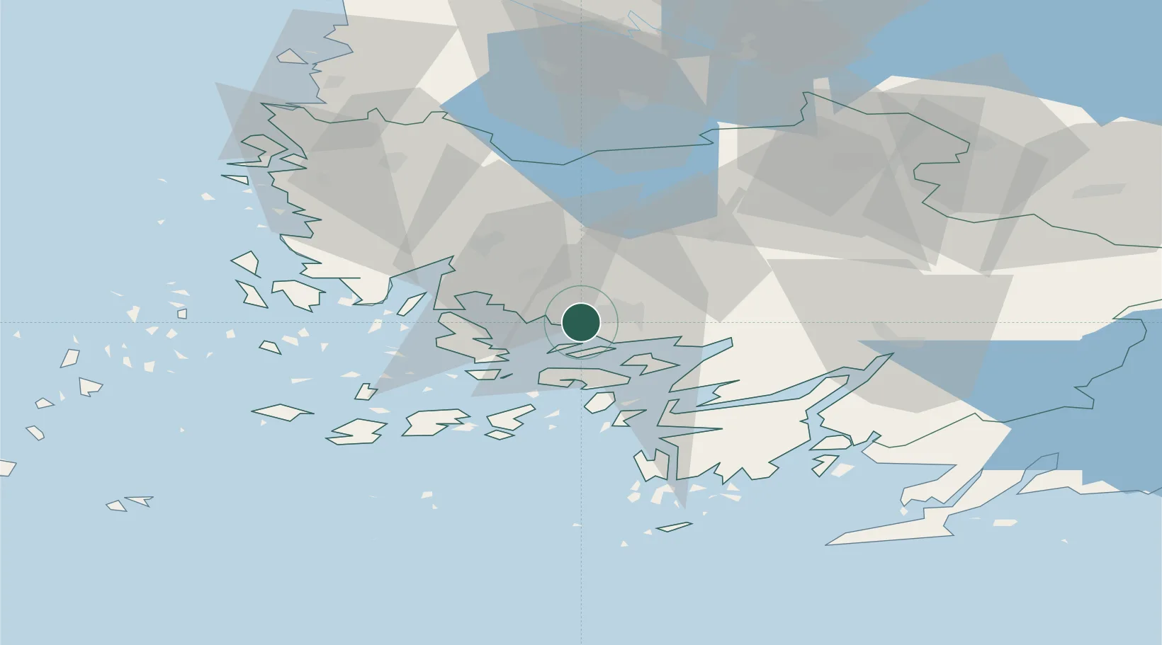
Nearby Logistics Neighbours

Cities
  1. 1Naantali (Nådendal)9 km
  2. 2Vanhalinna10 km
  3. 3Littoinen11 km
  4. 4Rimito (Rymättylä)16 km
  5. 5Parainen (Pargas)17 km
Nearest neighbours — logibook spatial index (haversine) over the source coordinates
Ports
  1. 1Naantali11 km
  2. 2Pargas19 km
  3. 3Uusikaupunki59 km
  4. 4Hanko81 km
  5. 5Ekenas85 km
Nearest neighbours — logibook spatial index (haversine) over the source coordinates
Airports
  1. 1Turku Airport9 km
  2. 2Pori Airport116 km
  3. 3Tampere-Pirkkala Airport132 km
  4. 4Helsinki Vantaa Airport152 km
  5. 5Kärdla Airport165 km
Nearest neighbours — logibook spatial index (haversine) over the source coordinates
Trade Zones
  1. 1Turku Free Zone1 km
  2. 2Freeport of Hanko78 km
  3. 3Paldiski Free Zone162 km
  4. 4Muuga Free Zone202 km
  5. 5Stockholm Free Zone258 km
Nearest neighbours — logibook spatial index (haversine) over the source coordinates
DatabookThe Record of Consolidated Knowledge
Finland beyond logistics?
Browse databook

All Sources

LocationsUN/LOCODE
UN/LOCODE — free
Portsthe NGA World Port Index
Public domain (US gov)
AirportsOurAirports
Public domain
Trade Zonesthe World Bank SEZ database
CC BY 4.0
Trade ZonesOpen Zone Map
CC BY
← Finland locations