Channel & Berth Profile
Pilotage, Tugs & Services
Pilotage compulsoryNO
Pilotage advisableYES
Local assistanceYES
Tug assistanceYES
Salvage tugsNO
Potable waterYES
MedicalYES
Garbage disposalYES
Facilities & Capabilities
Container—
Ro-Ro—
Liquid bulk—
Dry bulk—
Oil terminal—
Break bulk—
Dry dock—
RepairsNO
BunkeringYES
Rail linkYES
Dangerous cargo—
ISPS security—
Harbour Specifications
Harbour size
Very Small
Harbour type
Coastal (Natural)
Shelter
Good
Water body
Baltic Sea; North Atlantic Ocean
Overhead limit
Yes
Pilotage
No
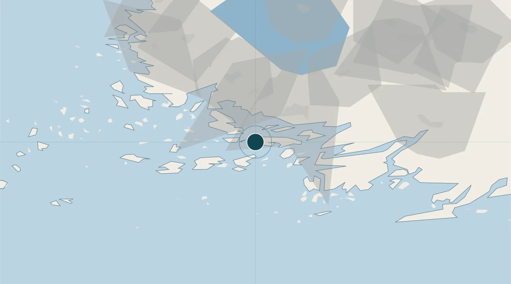
Location
Nearby Logistics Neighbours
Ports
- 1Naantali21 km
- 2Turku21 km
- 3Uto68 km
- 4Uusikaupunki68 km
- 5Hanko71 km
Cities
- 1Rimito (Rymättylä)11 km
- 2Nagu (Nauvo)14 km
- 3Tervsund14 km
- 4Naantali (Nådendal)19 km
- 5Lielax19 km
Airports
- 1Turku Airport28 km
- 2Pori Airport132 km
- 3Kärdla Airport150 km
- 4Tampere-Pirkkala Airport151 km
- 5Helsinki Vantaa Airport160 km
Trade Zones
- 1Turku Free Zone20 km
- 2Freeport of Hanko68 km
- 3Paldiski Free Zone154 km
- 4Muuga Free Zone198 km
- 5Stockholm Free Zone244 km
DatabookThe Record of Consolidated Knowledge
Finland beyond logistics?