UN/LOCODE hub · Finland
FIPAR

Parainen (Pargas)

60.3000°, 22.3000°
1
Transport functions

Transport Functions

Port
Parainen (Pargas) is also a profiled seaport →
UN/LOCODE

Hub Profile

Region
19
GeoNames

Location

Location of FIPAR
Natural Earth 10m (public domain) · 19 · FIPAR · 60.30, 22.30GoogleOSMYandex

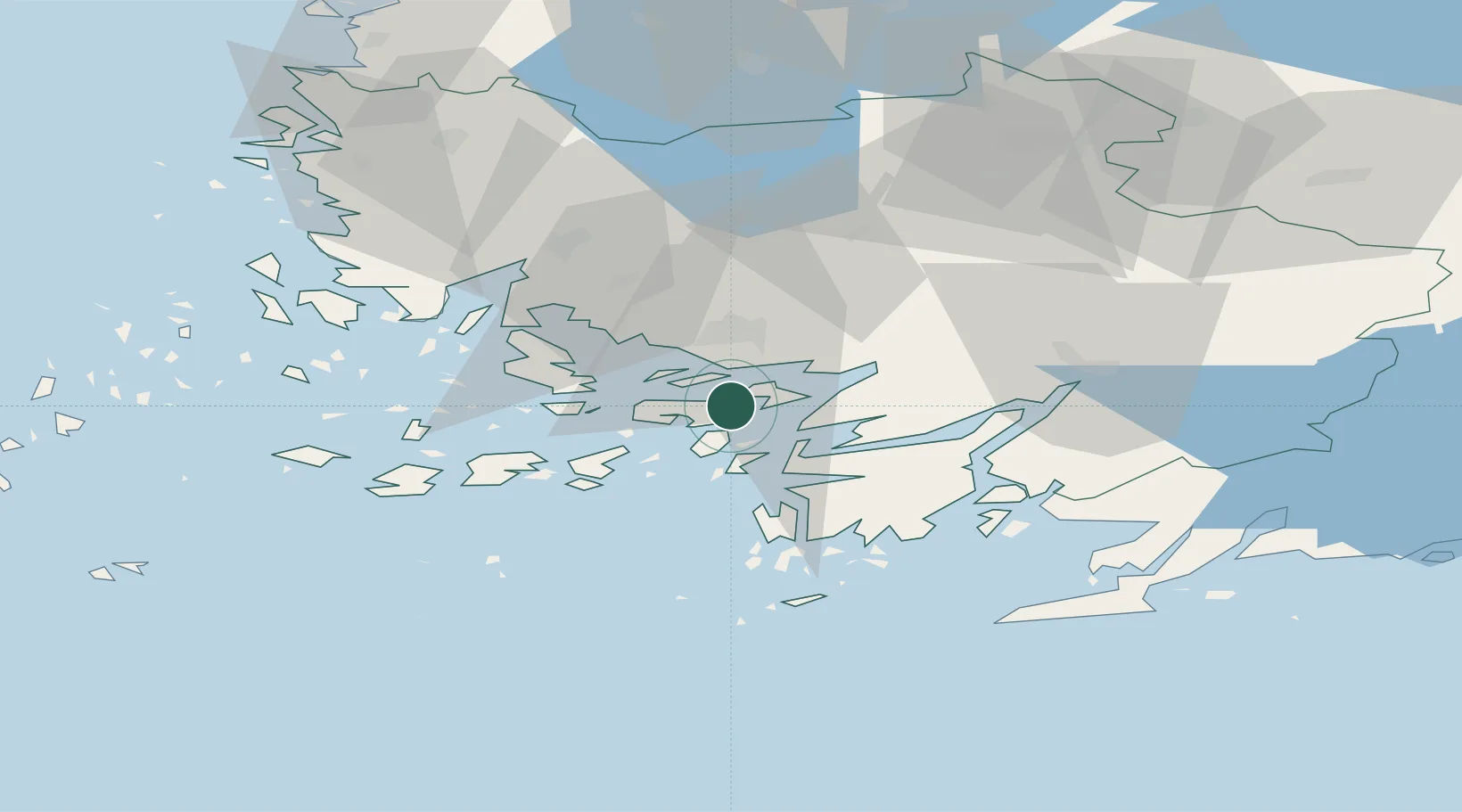
Nearby Logistics Neighbours

Cities
  1. 1Tervsund6 km
  2. 2Lielax6 km
  3. 3Sandö (Santasaari)14 km
  4. 4Littoinen16 km
  5. 5Åbo (Turku)17 km
Nearest neighbours — logibook spatial index (haversine) over the source coordinates
Ports
  1. 1Turku17 km
  2. 2Naantali24 km
  3. 3Hanko65 km
  4. 4Ekenas72 km
  5. 5Uusikaupunki74 km
Nearest neighbours — logibook spatial index (haversine) over the source coordinates
Airports
  1. 1Turku Airport24 km
  2. 2Pori Airport132 km
  3. 3Tampere-Pirkkala Airport143 km
  4. 4Helsinki Vantaa Airport147 km
  5. 5Kärdla Airport149 km
Nearest neighbours — logibook spatial index (haversine) over the source coordinates
Trade Zones
  1. 1Turku Free Zone17 km
  2. 2Freeport of Hanko62 km
  3. 3Paldiski Free Zone146 km
  4. 4Muuga Free Zone188 km
  5. 5Port of Hamina-Kotka256 km
Nearest neighbours — logibook spatial index (haversine) over the source coordinates
DatabookThe Record of Consolidated Knowledge
Finland beyond logistics?
Browse databook

All Sources

LocationsUN/LOCODE
UN/LOCODE — free
Portsthe NGA World Port Index
Public domain (US gov)
AirportsOurAirports
Public domain
Trade Zonesthe World Bank SEZ database
CC BY 4.0
Trade ZonesOpen Zone Map
CC BY
← Finland locations