Channel & Berth Profile
Pilotage, Tugs & Services
Pilotage compulsoryYES
Pilotage availableYES
Local assistanceYES
Tug assistanceYES
Potable waterYES
MedicalYES
Garbage disposalYES
Facilities & Capabilities
ContainerYES
Ro-RoYES
Liquid bulkNO
Dry bulkNO
Oil terminalNO
Break bulkYES
Dry dock—
RepairsNO
BunkeringYES
Rail linkYES
Dangerous cargo—
ISPS security—
Harbour Specifications
Harbour size
Small
Harbour type
Coastal (Breakwater)
Shelter
Poor
Water body
Gulf of Finland; Baltic Sea; North Atlantic Ocean
Pilotage
Yes
Liner Connectivity
20.3
PLSCI
Port Liner Shipping Connectivity Index for Hanko, as published by UNCTAD for the latest available quarter. Higher values indicate stronger scheduled liner-shipping integration.
Shown relative to the highest per-port PLSCI in the dataset (1,657.9).
Location
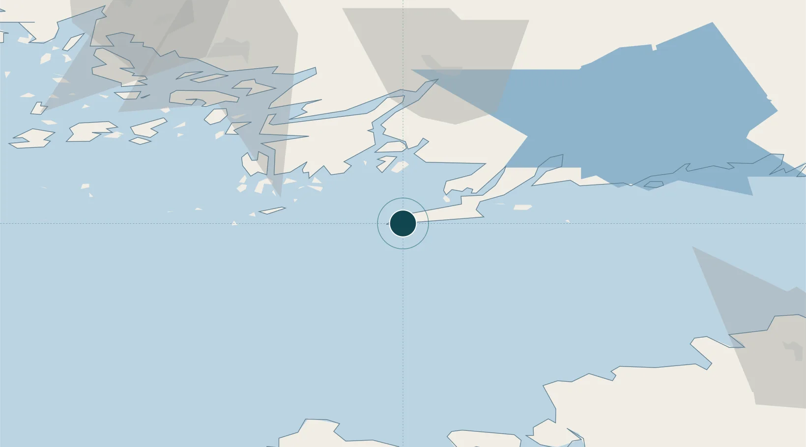
Nearby Logistics Neighbours
Cities
- 1Tvärminne13 km
- 2Koverhaara (Koverhar)16 km
- 3Bromarv19 km
- 4Lappohja (Lappvik)19 km
- 5Tessvär26 km
Airports
- 1Turku Airport86 km
- 2Kärdla Airport92 km
- 3Ämari Air Base94 km
- 4Tallinn Linnahall Heliport109 km
- 5Lennart Meri Tallinn Airport115 km
Trade Zones
- 1Freeport of Hanko4 km
- 2Turku Free Zone81 km
- 3Paldiski Free Zone83 km
- 4Muuga Free Zone130 km
- 5Port of Hamina-Kotka232 km
DatabookThe Record of Consolidated Knowledge
Finland beyond logistics?