Transport Functions
Rail
Road
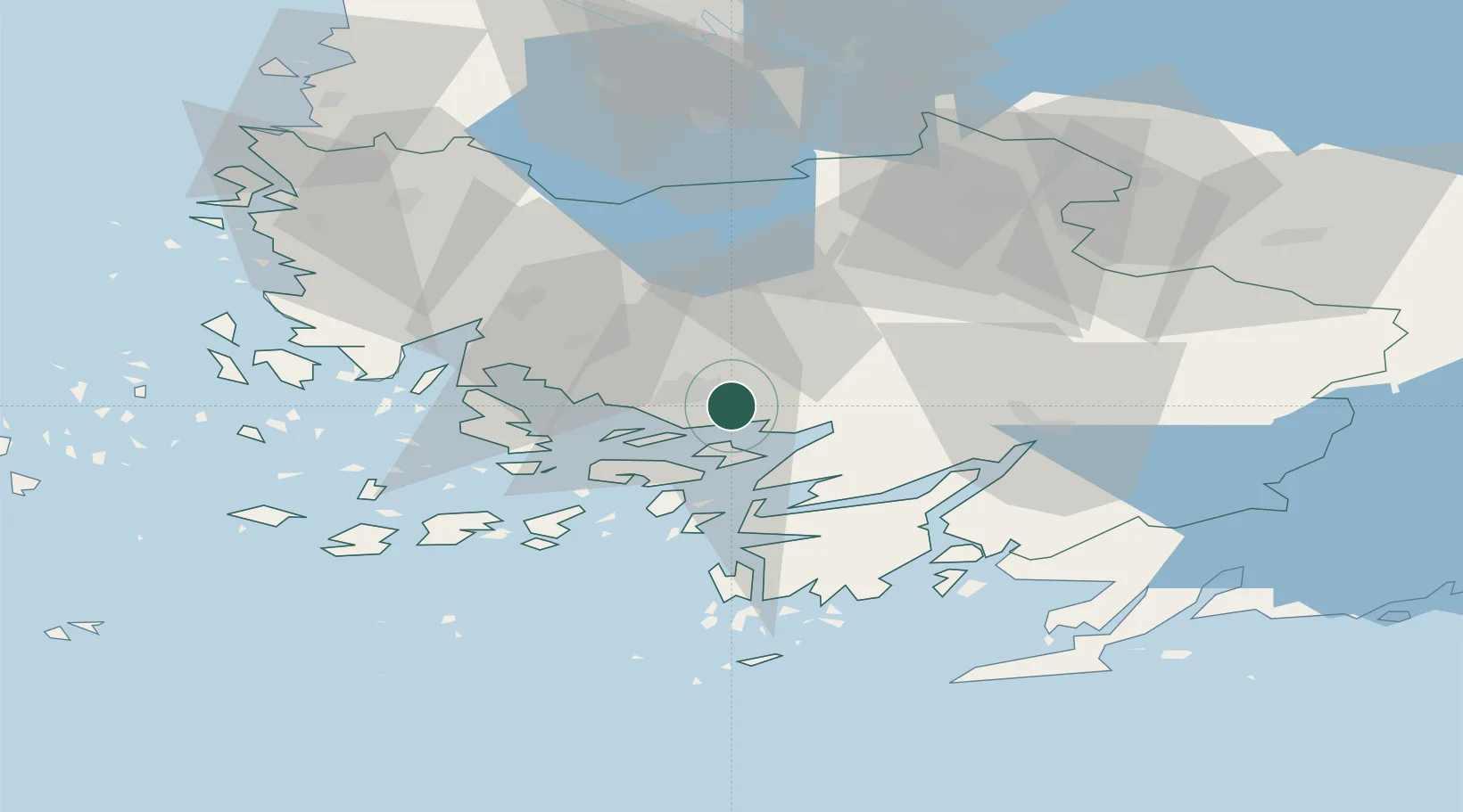
Hub Profile
Place type
Populated place
Region
Southwest Finland
Time zone
Europe/Helsinki
Elevation
28 m
Location
Nearby Logistics Neighbours
Cities
- 1Vanhalinna4 km
- 2Piikkiö6 km
- 3Åbo (Turku)11 km
- 4Lielax13 km
- 5Parainen (Pargas)16 km
Ports
- 1Turku9 km
- 2Naantali21 km
- 3Pargas25 km
- 4Uusikaupunki68 km
- 5Hanko75 km
Airports
- 1Turku Airport12 km
- 2Pori Airport119 km
- 3Tampere-Pirkkala Airport127 km
- 4Helsinki Vantaa Airport142 km
- 5Kärdla Airport162 km
Trade Zones
- 1Turku Free Zone10 km
- 2Freeport of Hanko72 km
- 3Paldiski Free Zone154 km
- 4Muuga Free Zone193 km
- 5Port of Hamina-Kotka249 km
DatabookThe Record of Consolidated Knowledge
Finland beyond logistics?