Channel & Berth Profile
Pilotage, Tugs & Services
Pilotage compulsoryYES
Potable waterYES
Diesel bunkersNO
MedicalYES
Garbage disposalYES
Facilities & Capabilities
Container—
Ro-Ro—
Liquid bulk—
Dry bulk—
Oil terminal—
Break bulk—
Dry dock—
RepairsNO
BunkeringYES
Rail linkYES
Dangerous cargo—
ISPS security—
Harbour Specifications
Harbour size
Small
Harbour type
Coastal (Natural)
Shelter
Good
Water body
Gulf of Finland; Baltic Sea; North Atlantic Ocean
Tidal range
5 m
Overhead limit
Yes
Pilotage
Yes
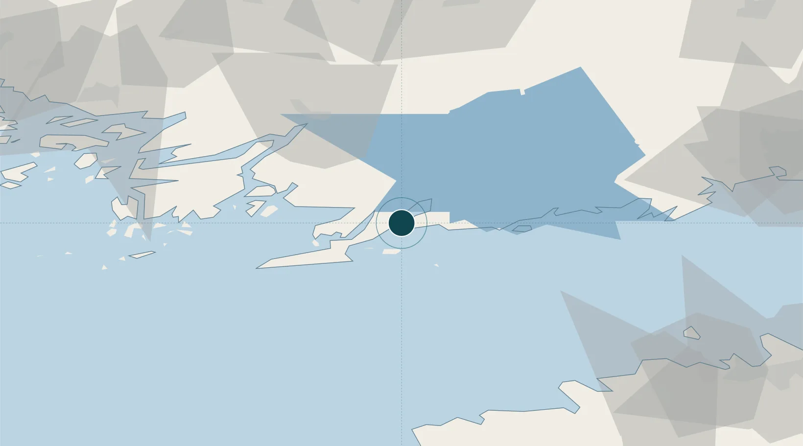
Location
Nearby Logistics Neighbours
Cities
- 1Gullö4 km
- 2Skutviken6 km
- 3Tenala12 km
- 4Snappertuna12 km
- 5Lappohja (Lappvik)14 km
Airports
- 1Turku Airport88 km
- 2Ämari Air Base91 km
- 3Helsinki Vantaa Airport93 km
- 4Tallinn Linnahall Heliport95 km
- 5Lennart Meri Tallinn Airport101 km
Trade Zones
- 1Freeport of Hanko35 km
- 2Paldiski Free Zone81 km
- 3Turku Free Zone85 km
- 4Muuga Free Zone117 km
- 5Port of Hamina-Kotka201 km
DatabookThe Record of Consolidated Knowledge
Finland beyond logistics?