Free Trade Zone · Estonia
Muuga Free Zone Active
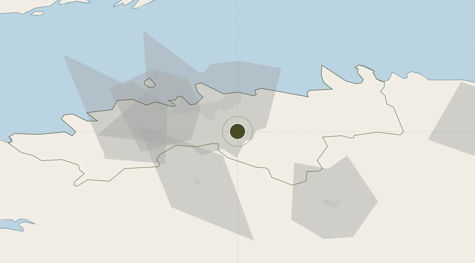
59.2957°, 25.0106°
14 ha
Zone area
22.0 km
Nearest port
16.5 km
Nearest airport
Gateway access
Zone profile
Zone type
Free Trade Zone
Region
Harju
Status
Active
Management
Public-Private Partnership
Operator
Port of Tallinn
Legal framework
Alcohol, Tobacco, Fuel and Electricity Excise Duty Act (effective April 1, 2003), Customs Act (2017), Competition Act 2001, Value Added Tax Act 2004, Commercial Code 1995
Location
Nearby Logistics Neighbours
Ports
- 1Vanasadam - Port of Tallinn22 km
- 2Muuga-Port of Tallin23 km
- 3Lahesuu25 km
- 4Paljassaare25 km
- 5Miiduranna25 km
Airports
- 1Lennart Meri Tallinn Airport17 km
- 2Tallinn Linnahall Heliport22 km
- 3Ämari Air Base46 km
- 4Pärnu Airport102 km
- 5Helsinki Vantaa Airport114 km
Trade Zones
- 1Paldiski Free Zone53 km
- 2Freeport of Hanko134 km
- 3Port of Sillamäe154 km
- 4Port of Hamina-Kotka169 km
- 5Turku Free Zone202 km
DatabookThe Record of Consolidated Knowledge
Estonia beyond logistics?