Channel & Berth Profile
Pilotage, Tugs & Services
Pilotage compulsoryYES
Pilotage availableYES
Tug assistanceYES
Potable waterYES
Diesel bunkersYES
MedicalYES
Facilities & Capabilities
ContainerNO
Ro-RoNO
Liquid bulkYES
Dry bulkYES
Oil terminalNO
Break bulkYES
Dry dock—
RepairsNO
BunkeringYES
Rail linkYES
Dangerous cargo—
ISPS security—
Harbour Specifications
Harbour size
Medium
Harbour type
Coastal (Natural)
Shelter
Good
Water body
Gulf of Bothnia; Baltic Sea; North Atlantic Ocean
Pilotage
Yes
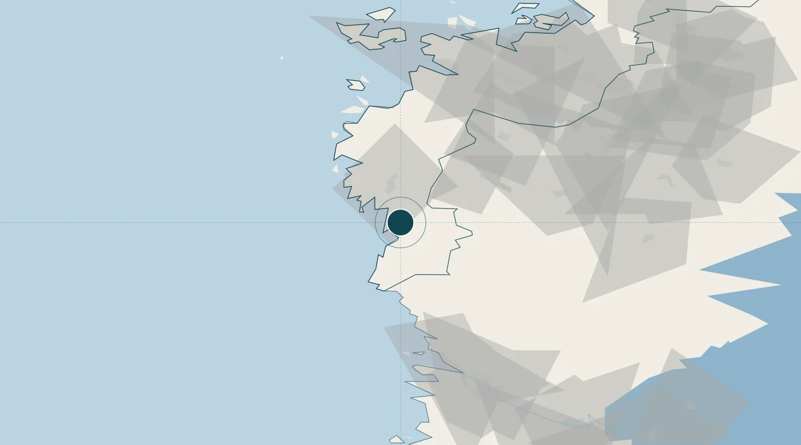
Location
Nearby Logistics Neighbours
Ports
- 1Kaskinen14 km
- 2Tahkoluoto72 km
- 3Mantyluoto76 km
- 4Vaasa91 km
- 5Pori91 km
Cities
- 1Töjby43 km
- 2Merikarvia (Sastmola)49 km
- 3Honkajoki56 km
- 4Hakkola69 km
- 5Koskenkorva71 km
Airports
- 1Kauhajoki Airfield55 km
- 2Seinäjoki Airport87 km
- 3Vaasa Airport87 km
- 4Pori Airport94 km
- 5Kauhava Airfield126 km
Trade Zones
- 1Turku Free Zone209 km
- 2Freeport of Hanko284 km
- 3Port of Hamina-Kotka357 km
- 4Paldiski Free Zone359 km
- 5Oulu Port Free Warehouse Area361 km
DatabookThe Record of Consolidated Knowledge
Finland beyond logistics?