Channel & Berth Profile
Pilotage, Tugs & Services
Pilotage compulsoryYES
Pilotage availableYES
Pilotage advisableYES
Tug assistanceYES
Shore powerYES
Potable waterYES
Diesel bunkersYES
Facilities & Capabilities
Container—
Ro-Ro—
Liquid bulk—
Dry bulk—
Oil terminal—
Break bulk—
Dry dock—
RepairsNO
BunkeringYES
Rail linkYES
Dangerous cargo—
ISPS security—
Harbour Specifications
Harbour size
Very Small
Harbour type
Open Roadstead
Shelter
Poor
Water body
Gulf of Bothnia; Baltic Sea; North Atlantic Ocean
Overhead limit
No
Pilotage
Yes
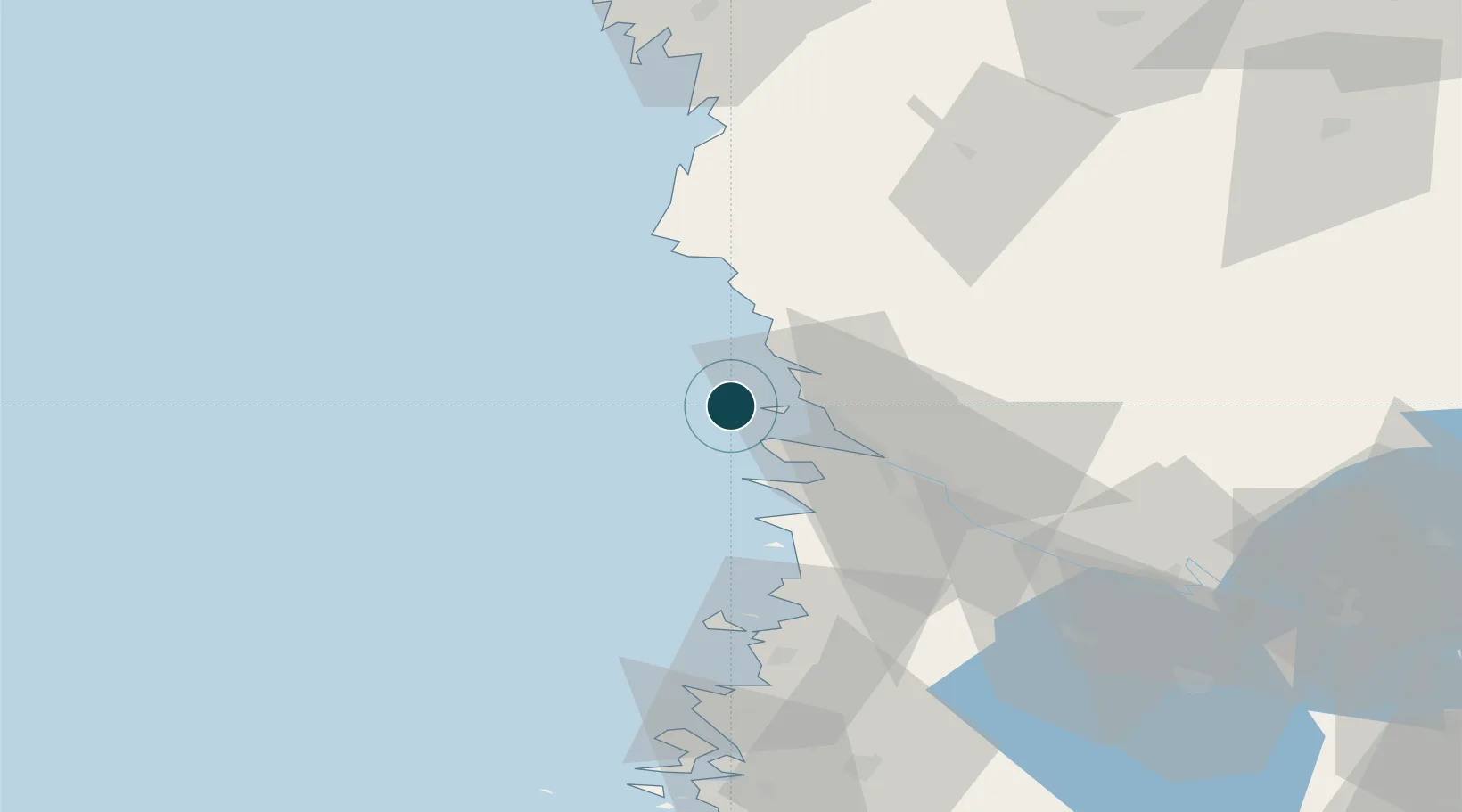
Location
Nearby Logistics Neighbours
Ports
- 1Mantyluoto6 km
- 2Pori27 km
- 3Rauma57 km
- 4Kristinestad72 km
- 5Kaskinen84 km
Cities
- 1Reposaari3 km
- 2Mäntyluoto6 km
- 3Merikarvia (Sastmola)25 km
- 4Björneborg (Pori)27 km
- 5Pomarkku33 km
Airports
- 1Pori Airport29 km
- 2Kauhajoki Airfield106 km
- 3Tampere-Pirkkala Airport119 km
- 4Turku Airport133 km
- 5Seinäjoki Airport139 km
Trade Zones
- 1Turku Free Zone139 km
- 2Freeport of Hanko216 km
- 3Paldiski Free Zone295 km
- 4Stockholm Free Zone311 km
- 5Port of Hamina-Kotka325 km
DatabookThe Record of Consolidated Knowledge
Finland beyond logistics?