UN/LOCODE hub · Finland
FITOJ

Töjby

62.6500°, 21.1667°
2
Transport functions

Transport Functions

Port
Road
UN/LOCODE

Hub Profile

Region
12
GeoNames

Location

Location of FITOJ
Natural Earth 10m (public domain) · 12 · FITOJ · 62.65, 21.17GoogleOSMYandex

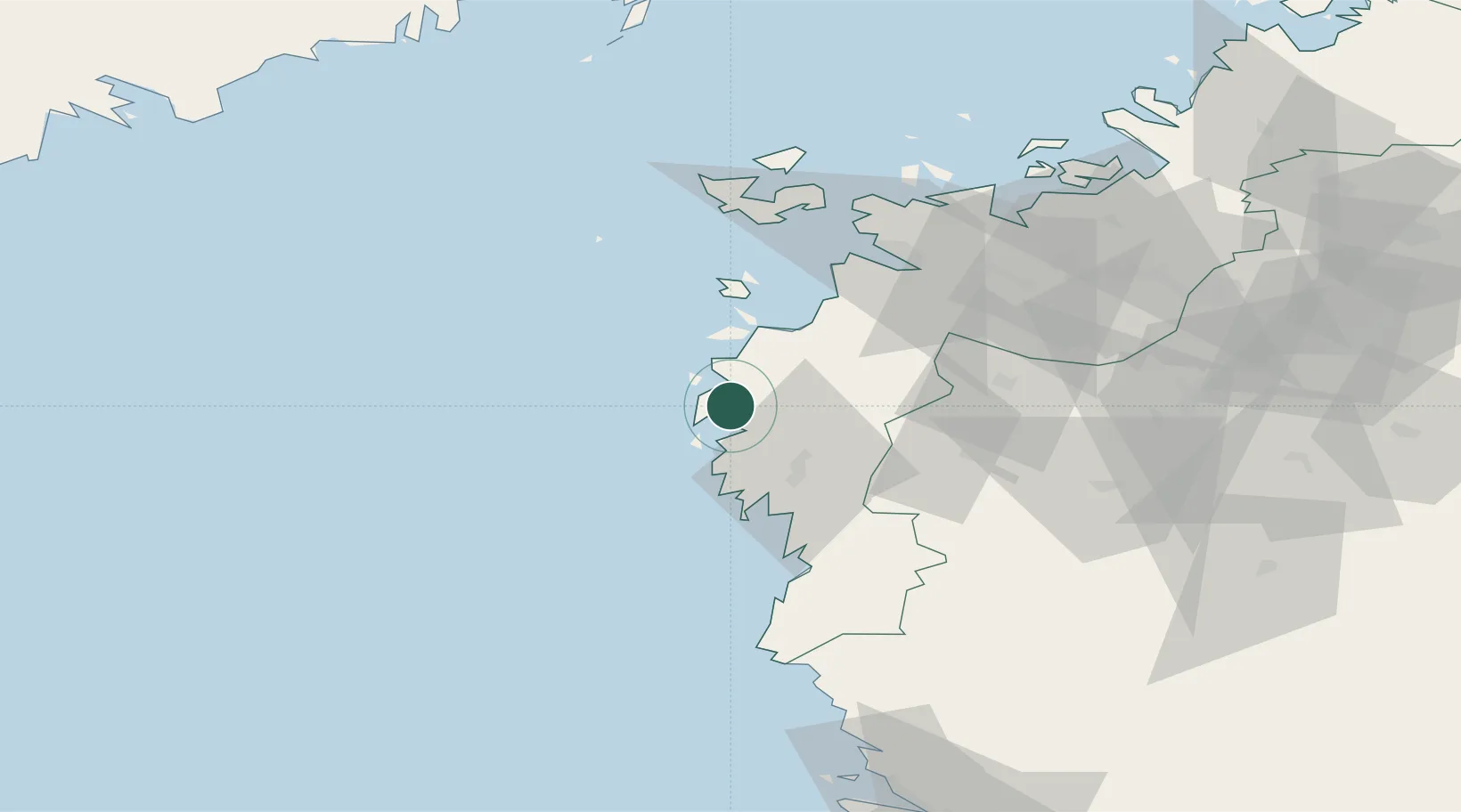
Nearby Logistics Neighbours

Cities
  1. 1Maalahti (Malax)38 km
  2. 2Kristiinankaupunki (Kristinestad)42 km
  3. 3Kronvik50 km
  4. 4Vasklot (Vaskiluoto)54 km
  5. 5Kylanpää54 km
Nearest neighbours — logibook spatial index (haversine) over the source coordinates
Ports
  1. 1Kaskinen30 km
  2. 2Kristinestad43 km
  3. 3Vaasa54 km
  4. 4Hellnas89 km
  5. 5Kantlax102 km
Nearest neighbours — logibook spatial index (haversine) over the source coordinates
Airports
  1. 1Vaasa Airport54 km
  2. 2Kauhajoki Airfield66 km
  3. 3Seinäjoki Airport85 km
  4. 4Kauhava Airfield109 km
  5. 5Umeå Airport135 km
Nearest neighbours — logibook spatial index (haversine) over the source coordinates
Trade Zones
  1. 1Turku Free Zone251 km
  2. 2Freeport of Hanko327 km
  3. 3Oulu Port Free Warehouse Area334 km
  4. 4Port of Hamina-Kotka390 km
  5. 5Paldiski Free Zone401 km
Nearest neighbours — logibook spatial index (haversine) over the source coordinates
DatabookThe Record of Consolidated Knowledge
Finland beyond logistics?
Browse databook

All Sources

LocationsUN/LOCODE
UN/LOCODE — free
Portsthe NGA World Port Index
Public domain (US gov)
AirportsOurAirports
Public domain
Trade Zonesthe World Bank SEZ database
CC BY 4.0
Trade ZonesOpen Zone Map
CC BY
← Finland locations