UN/LOCODE hub · Finland
FIMER

Merikarvia (Sastmola)

61.8500°, 21.5000°
1
Transport functions

Transport Functions

Port
UN/LOCODE

Hub Profile

Region
17
GeoNames

Location

Location of FIMER
Natural Earth 10m (public domain) · 17 · FIMER · 61.85, 21.50GoogleOSMYandex

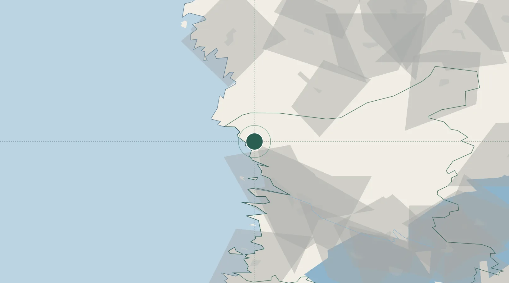
Nearby Logistics Neighbours

Cities
  1. 1Tahkoluoto25 km
  2. 2Reposaari26 km
  3. 3Mäntyluoto28 km
  4. 4Pomarkku31 km
  5. 5Honkajoki43 km
Nearest neighbours — logibook spatial index (haversine) over the source coordinates
Ports
  1. 1Tahkoluoto25 km
  2. 2Mantyluoto28 km
  3. 3Pori44 km
  4. 4Kristinestad49 km
  5. 5Kaskinen61 km
Nearest neighbours — logibook spatial index (haversine) over the source coordinates
Airports
  1. 1Pori Airport46 km
  2. 2Kauhajoki Airfield82 km
  3. 3Seinäjoki Airport116 km
  4. 4Tampere-Pirkkala Airport121 km
  5. 5Vaasa Airport134 km
Nearest neighbours — logibook spatial index (haversine) over the source coordinates
Trade Zones
  1. 1Turku Free Zone161 km
  2. 2Freeport of Hanko237 km
  3. 3Paldiski Free Zone313 km
  4. 4Port of Hamina-Kotka330 km
  5. 5Stockholm Free Zone334 km
Nearest neighbours — logibook spatial index (haversine) over the source coordinates
DatabookThe Record of Consolidated Knowledge
Finland beyond logistics?
Browse databook

All Sources

LocationsUN/LOCODE
UN/LOCODE — free
Portsthe NGA World Port Index
Public domain (US gov)
AirportsOurAirports
Public domain
Trade Zonesthe World Bank SEZ database
CC BY 4.0
Trade ZonesOpen Zone Map
CC BY
← Finland locations