UN/LOCODE hub · Finland
FILSH

Honkajoki

61.9833°, 22.2667°
1,595
Population
1
Transport functions

Transport Functions

Multimodal
UN/LOCODE

Hub Profile

Place type
District seat
GeoNames
Region
Satakunta
GeoNames
Population
1,595
GeoNames
Time zone
Europe/Helsinki
GeoNames
Elevation
110 m
GeoNames

Location

Location of FILSH
Natural Earth 10m (public domain) · Satakunta · FILSH · 61.98, 22.27GoogleOSMYandex

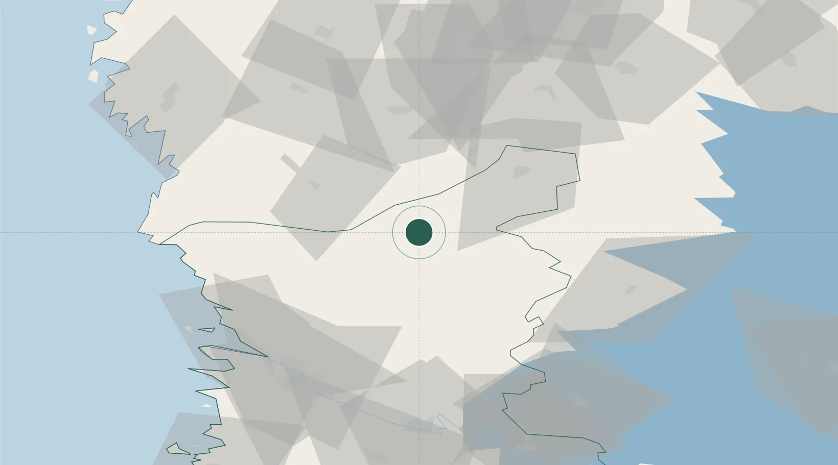
Nearby Logistics Neighbours

Cities
  1. 1Pomarkku35 km
  2. 2Merikarvia (Sastmola)43 km
  3. 3Hakkola50 km
  4. 4Kristiinankaupunki (Kristinestad)57 km
  5. 5Reposaari59 km
Nearest neighbours — logibook spatial index (haversine) over the source coordinates
Ports
  1. 1Kristinestad56 km
  2. 2Mantyluoto59 km
  3. 3Tahkoluoto60 km
  4. 4Pori61 km
  5. 5Kaskinen70 km
Nearest neighbours — logibook spatial index (haversine) over the source coordinates
Airports
  1. 1Kauhajoki Airfield54 km
  2. 2Pori Airport63 km
  3. 3Seinäjoki Airport84 km
  4. 4Tampere-Pirkkala Airport95 km
  5. 5Vaasa Airport121 km
Nearest neighbours — logibook spatial index (haversine) over the source coordinates
Trade Zones
  1. 1Turku Free Zone171 km
  2. 2Freeport of Hanko242 km
  3. 3Port of Hamina-Kotka301 km
  4. 4Paldiski Free Zone311 km
  5. 5Free Zone of Lappeenranta327 km
Nearest neighbours — logibook spatial index (haversine) over the source coordinates
DatabookThe Record of Consolidated Knowledge
Finland beyond logistics?
Browse databook

All Sources

LocationsUN/LOCODE
UN/LOCODE — free
LocationsGeoNames
CC BY 4.0
Portsthe NGA World Port Index
Public domain (US gov)
AirportsOurAirports
Public domain
Trade Zonesthe World Bank SEZ database
CC BY 4.0
Trade ZonesOpen Zone Map
CC BY
← Finland locations