Medium airport · Finland
Seinäjoki AirportEFSI
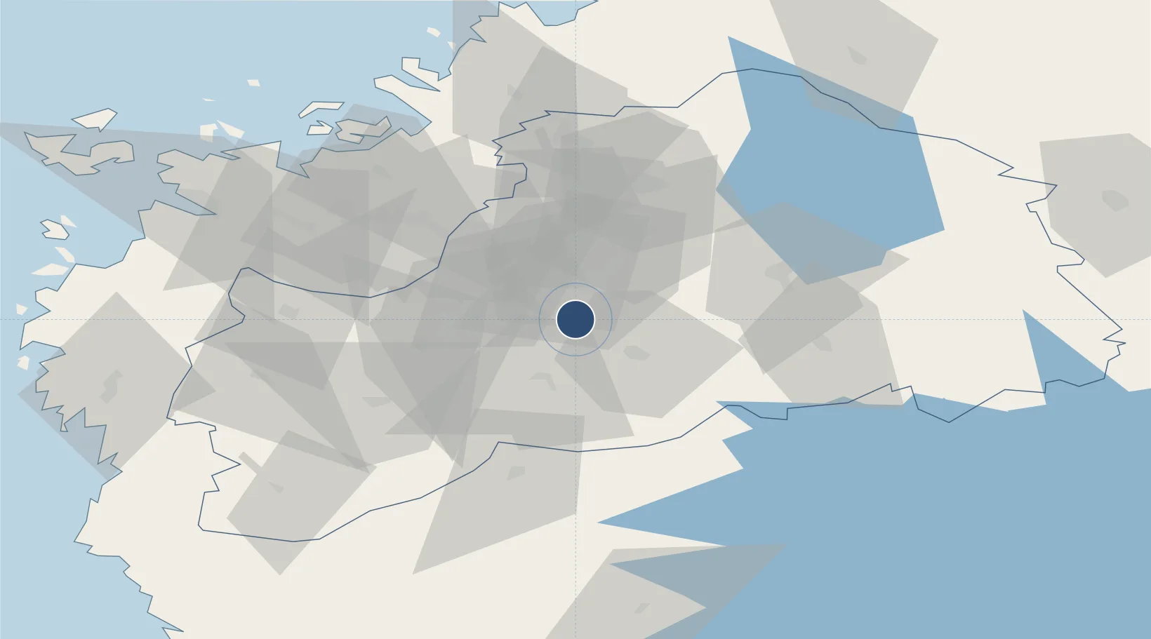
62.6921°, 22.8323°
6,562 ft
Longest runway
1
Runways
302 ft
Elevation
Runway & Layout

Radio Frequencies
TWR
119.7 MHz
KAUHAVA TWR
APP
130.1 MHz
KAUHAVA APP
AFIS
123.6 MHz
RDR
128.15 MHz
KAUHAVA RADAR
Navaids
PSJ NDB Seinajoki 352 kHz
Runways · 1
| Runway | Dimensions | Surface | True heading | Lit |
|---|---|---|---|---|
| 14/32 | 6,562 × 148ft | Asphalt | 136° | ✓ |
Airport Specifications
IATA code
SJY
ICAO code
EFSI
Airport class
Medium airport
Scheduled service
No
Runway surface
Asphalt
Served city
Seinäjoki / Ilmajoki
Location
Nearby Logistics Neighbours
Airports
- 1Kauhajoki Airfield34 km
- 2Kauhava Airfield50 km
- 3Vaasa Airport67 km
- 4Kokkola-Pietarsaari Airport116 km
- 5Halli Airport137 km
Cities
- 1Nurmo16 km
- 2Koskenkorva19 km
- 3Hakkola35 km
- 4Kylanpää45 km
- 5Tuuri48 km
Ports
- 1Hellnas72 km
- 2Vaasa78 km
- 3Kantlax85 km
- 4Kristinestad87 km
- 5Kaskinen89 km
Trade Zones
- 1Turku Free Zone252 km
- 2Oulu Port Free Warehouse Area286 km
- 3Freeport of Hanko318 km
- 4Port of Hamina-Kotka329 km
- 5Free Zone of Lappeenranta332 km
DatabookThe Record of Consolidated Knowledge
Finland beyond logistics?