Channel & Berth Profile
Pilotage, Tugs & Services
Pilotage compulsoryYES
Pilotage availableYES
Pilotage advisableYES
Tug assistanceYES
Potable waterYES
Diesel bunkersYES
MedicalYES
Garbage disposalYES
Facilities & Capabilities
ContainerYES
Ro-RoYES
Liquid bulkYES
Dry bulkYES
Oil terminalNO
Break bulkYES
Dry dock—
RepairsNO
BunkeringYES
Rail linkYES
Dangerous cargo—
ISPS security—
Harbour Specifications
Harbour size
Medium
Harbour type
Coastal (Natural)
Shelter
Good
Water body
Gulf of Bothnia; Baltic Sea; North Atlantic Ocean
Overhead limit
Yes
Pilotage
Yes
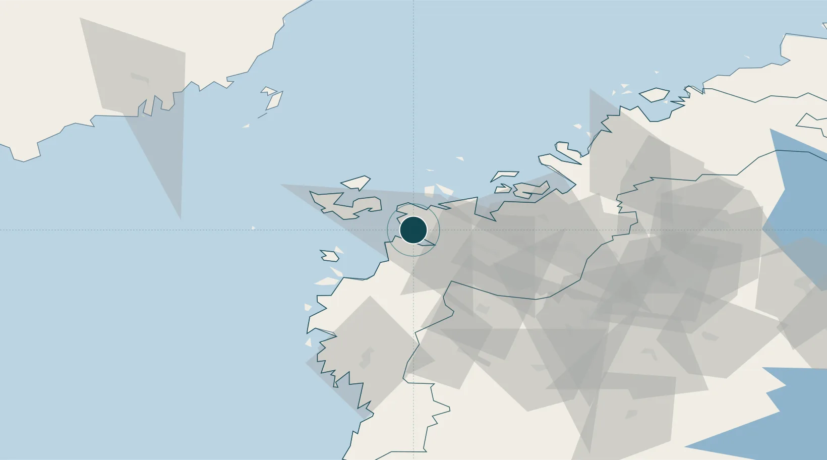
Location
Nearby Logistics Neighbours
Ports
- 1Hellnas38 km
- 2Kantlax50 km
- 3Nykarleby66 km
- 4Kaskinen82 km
- 5Pietarsaari84 km
Cities
- 1Vasklot (Vaskiluoto)1 km
- 2Kronvik5 km
- 3Maalahti (Malax)19 km
- 4Replot19 km
- 5Tottesund28 km
Airports
- 1Vaasa Airport11 km
- 2Kauhava Airfield74 km
- 3Seinäjoki Airport78 km
- 4Kauhajoki Airfield82 km
- 5Umeå Airport101 km
Trade Zones
- 1Oulu Port Free Warehouse Area281 km
- 2Turku Free Zone297 km
- 3Freeport of Hanko370 km
- 4Port of Hamina-Kotka406 km
- 5Paldiski Free Zone439 km
DatabookThe Record of Consolidated Knowledge
Finland beyond logistics?