Channel & Berth Profile
Pilotage, Tugs & Services
Pilotage compulsoryYES
Pilotage availableYES
Pilotage advisableYES
Tug assistanceYES
Shore powerYES
Potable waterYES
Diesel bunkersYES
MedicalYES
Garbage disposalYES
Facilities & Capabilities
ContainerYES
Ro-RoYES
Liquid bulkYES
Dry bulkYES
Oil terminalNO
Break bulkYES
Dry dock—
RepairsNO
BunkeringYES
Rail linkYES
Dangerous cargo—
ISPS security—
Harbour Specifications
Harbour size
Large
Harbour type
Coastal (Natural)
Shelter
Good
Water body
Gulf of Bothnia; Baltic Sea; North Atlantic Ocean
Overhead limit
Yes
Pilotage
Yes
Liner Connectivity
8.9
PLSCI
Port Liner Shipping Connectivity Index for Pori, as published by UNCTAD for the latest available quarter. Higher values indicate stronger scheduled liner-shipping integration.
Shown relative to the highest per-port PLSCI in the dataset (1,657.9).
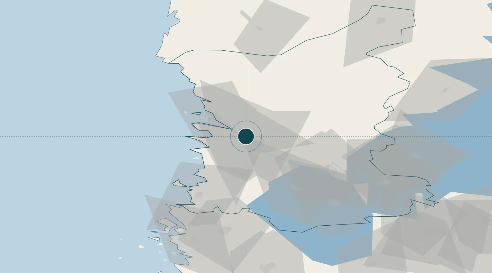
Location
Nearby Logistics Neighbours
Ports
- 1Mantyluoto21 km
- 2Tahkoluoto27 km
- 3Rauma44 km
- 4Uusikaupunki79 km
- 5Kristinestad91 km
Cities
- 1Ulvila7 km
- 2Luvia18 km
- 3Mäntyluoto22 km
- 4Reposaari24 km
- 5Tahkoluoto26 km
Airports
- 1Pori Airport2 km
- 2Tampere-Pirkkala Airport96 km
- 3Turku Airport111 km
- 4Kauhajoki Airfield113 km
- 5Seinäjoki Airport145 km
Trade Zones
- 1Turku Free Zone118 km
- 2Freeport of Hanko193 km
- 3Paldiski Free Zone270 km
- 4Port of Hamina-Kotka299 km
- 5Muuga Free Zone300 km
DatabookThe Record of Consolidated Knowledge
Finland beyond logistics?