Transport Functions
Port
Road
Hub Profile
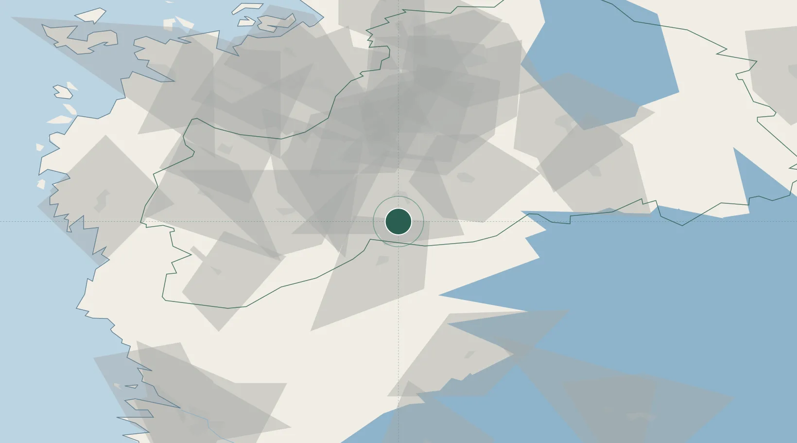
Place type
Populated place
Region
South Ostrobothnia
Time zone
Europe/Helsinki
Elevation
109 m
Location
Nearby Logistics Neighbours
Cities
- 1Koskenkorva36 km
- 2Honkajoki50 km
- 3Nurmo51 km
- 4Virrat (Virdois)56 km
- 5Tuuri58 km
Ports
- 1Kristinestad69 km
- 2Kaskinen77 km
- 3Vaasa98 km
- 4Hellnas103 km
- 5Tahkoluoto108 km
Airports
- 1Kauhajoki Airfield19 km
- 2Seinäjoki Airport35 km
- 3Kauhava Airfield84 km
- 4Vaasa Airport89 km
- 5Pori Airport113 km
Trade Zones
- 1Turku Free Zone217 km
- 2Freeport of Hanko284 km
- 3Port of Hamina-Kotka309 km
- 4Oulu Port Free Warehouse Area320 km
- 5Free Zone of Lappeenranta321 km
DatabookThe Record of Consolidated Knowledge
Finland beyond logistics?