UN/LOCODE hub · Finland
FIKKV

Koskenkorva

62.6833°, 22.4667°
2
Transport functions

Transport Functions

Port
Multimodal
UN/LOCODE

Hub Profile

Place type
Populated place
GeoNames
Region
South Ostrobothnia
GeoNames
Time zone
Europe/Helsinki
GeoNames
Elevation
48 m
GeoNames

Location

Location of FIKKV
Natural Earth 10m (public domain) · South Ostrobothnia · FIKKV · 62.68, 22.47GoogleOSMYandex

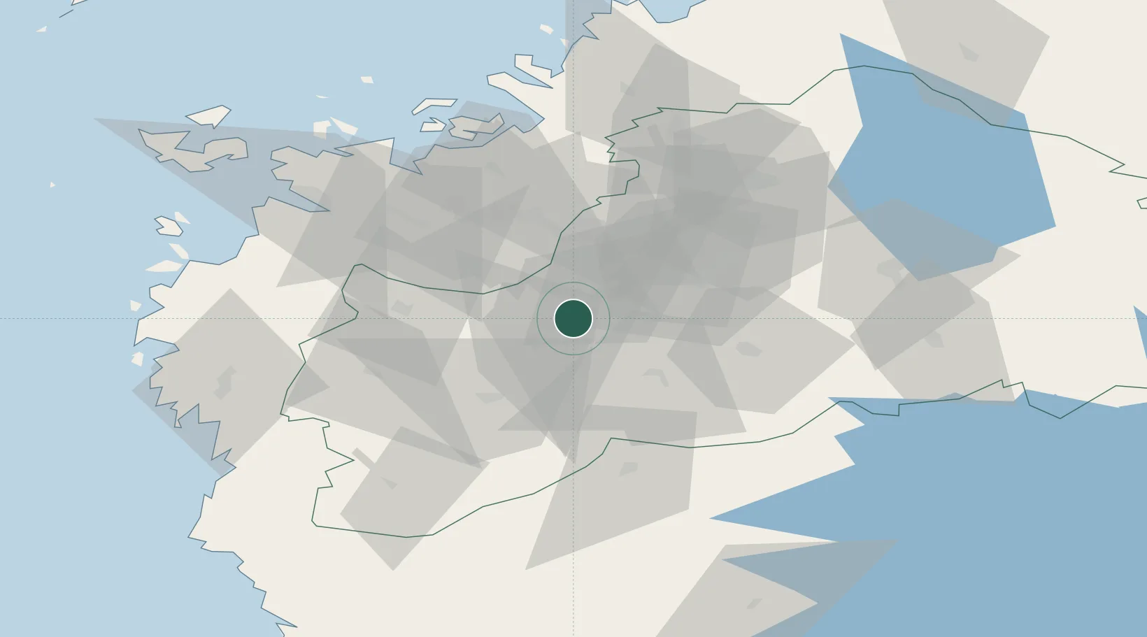
Nearby Logistics Neighbours

Cities
  1. 1Nurmo28 km
  2. 2Kylanpää31 km
  3. 3Hakkola36 km
  4. 4Tervajoki39 km
  5. 5Ylihärmä52 km
Nearest neighbours — logibook spatial index (haversine) over the source coordinates
Ports
  1. 1Vaasa64 km
  2. 2Hellnas68 km
  3. 3Kristinestad71 km
  4. 4Kaskinen72 km
  5. 5Kantlax82 km
Nearest neighbours — logibook spatial index (haversine) over the source coordinates
Airports
  1. 1Seinäjoki Airport19 km
  2. 2Kauhajoki Airfield25 km
  3. 3Vaasa Airport54 km
  4. 4Kauhava Airfield58 km
  5. 5Kokkola-Pietarsaari Airport120 km
Nearest neighbours — logibook spatial index (haversine) over the source coordinates
Trade Zones
  1. 1Turku Free Zone249 km
  2. 2Oulu Port Free Warehouse Area295 km
  3. 3Freeport of Hanko318 km
  4. 4Port of Hamina-Kotka341 km
  5. 5Free Zone of Lappeenranta348 km
Nearest neighbours — logibook spatial index (haversine) over the source coordinates
DatabookThe Record of Consolidated Knowledge
Finland beyond logistics?
Browse databook

All Sources

LocationsUN/LOCODE
UN/LOCODE — free
Portsthe NGA World Port Index
Public domain (US gov)
AirportsOurAirports
Public domain
Trade Zonesthe World Bank SEZ database
CC BY 4.0
Trade ZonesOpen Zone Map
CC BY
← Finland locations