UN/LOCODE hub · Finland
FIKRS
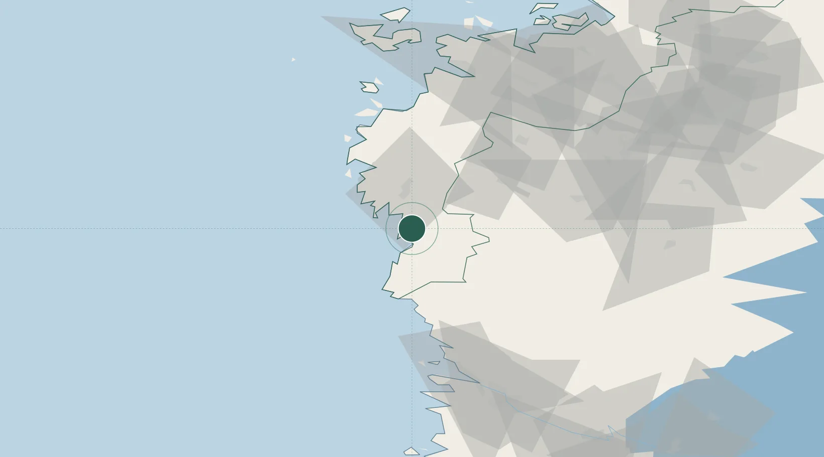
Kristiinankaupunki (Kristinestad)
62.2833°, 21.3833°
1
Transport functions
Transport Functions
Port
Hub Profile
Region
12
Location
Nearby Logistics Neighbours
Cities
- 1Töjby42 km
- 2Merikarvia (Sastmola)49 km
- 3Honkajoki57 km
- 4Hakkola70 km
- 5Koskenkorva71 km
Ports
- 1Kaskinen14 km
- 2Tahkoluoto72 km
- 3Mantyluoto76 km
- 4Vaasa91 km
- 5Pori92 km
Airports
- 1Kauhajoki Airfield56 km
- 2Seinäjoki Airport87 km
- 3Vaasa Airport87 km
- 4Pori Airport94 km
- 5Kauhava Airfield127 km
Trade Zones
- 1Turku Free Zone209 km
- 2Freeport of Hanko285 km
- 3Port of Hamina-Kotka358 km
- 4Paldiski Free Zone359 km
- 5Oulu Port Free Warehouse Area361 km
DatabookThe Record of Consolidated Knowledge
Finland beyond logistics?