Channel & Berth Profile
Pilotage, Tugs & Services
Pilotage compulsoryYES
Pilotage advisableYES
Tug assistanceYES
Shore powerYES
Potable waterYES
Diesel bunkersYES
Garbage disposalYES
Facilities & Capabilities
Container—
Ro-Ro—
Liquid bulk—
Dry bulk—
Oil terminal—
Break bulk—
Dry dock—
RepairsNO
BunkeringYES
Rail linkYES
Dangerous cargo—
ISPS security—
Harbour Specifications
Harbour size
Medium
Harbour type
Coastal (Breakwater)
Shelter
Good
Water body
Gulf of Bothnia; Baltic Sea; North Atlantic Ocean
Overhead limit
Yes
Pilotage
Yes
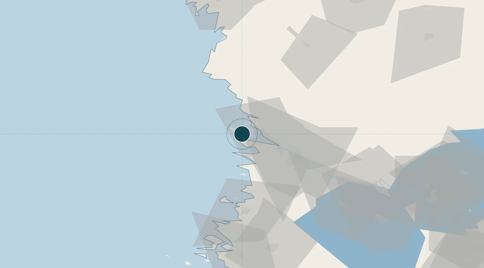
Location
Container Terminals · 1
MANTYLUOTO (PORT OF PORI)
FHCL OY HACKLIN LTD.
Nearby Logistics Neighbours
Ports
- 1Tahkoluoto6 km
- 2Pori21 km
- 3Rauma53 km
- 4Kristinestad76 km
- 5Kaskinen88 km
Cities
- 1Reposaari3 km
- 2Tahkoluoto5 km
- 3Björneborg (Pori)21 km
- 4Merikarvia (Sastmola)28 km
- 5Ulvila28 km
Airports
- 1Pori Airport23 km
- 2Kauhajoki Airfield107 km
- 3Tampere-Pirkkala Airport114 km
- 4Turku Airport128 km
- 5Seinäjoki Airport140 km
Trade Zones
- 1Turku Free Zone134 km
- 2Freeport of Hanko211 km
- 3Paldiski Free Zone289 km
- 4Stockholm Free Zone311 km
- 5Port of Hamina-Kotka319 km
DatabookThe Record of Consolidated Knowledge
Finland beyond logistics?