Large airport · Egypt

Taba International AirportHETB
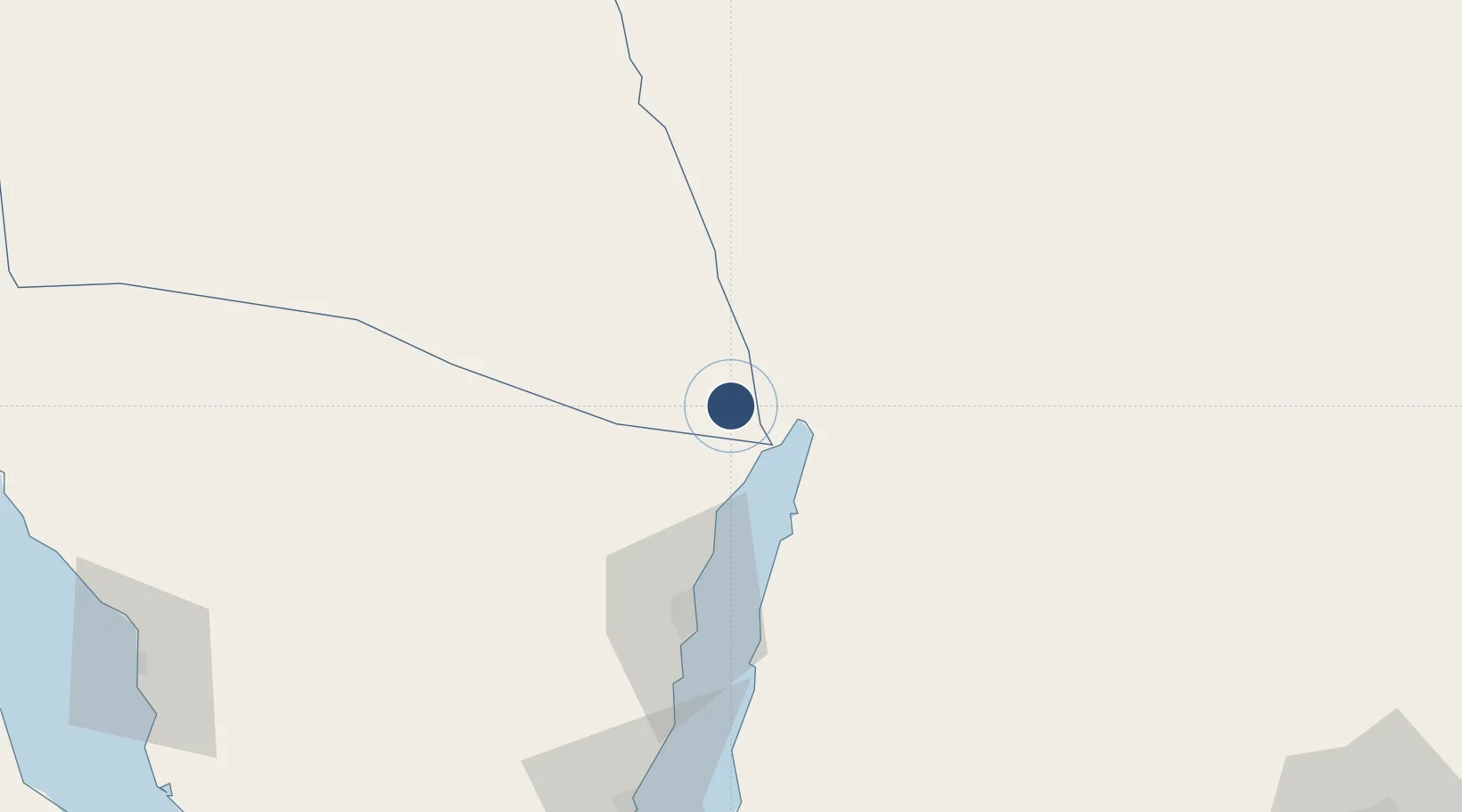
29.5945°, 34.7758°
13,123 ft
Longest runway
2
Runways
2,425 ft
Elevation

Runway & Layout

Taba International Airport runway & taxiway layout
Runway & taxiway layout — OpenStreetMap (ODbL) / OurAirports

Radio Frequencies

TWR
120.3 MHz
GND
121.9 MHz
APP
122.8 MHz
RADAR
RDO
579 MHz
OurAirports

Navaids

TBA VOR-DME Taba 114.50 MHz
TBA NDB Taba 316 kHz
OurAirports

Runways · 2

RunwayDimensions SurfaceTrue headingLit
04L/22R 13,123 × 148ft Asphalt 042°
04/22 Unknown
OurAirports

Airport Specifications

IATA code
TCP
OurAirports
ICAO code
HETB
OurAirports
Airport class
Large airport
OurAirports
Scheduled service
Yes
OurAirports
Runway surface
Asphalt
OurAirports
Served city
Taba
OurAirports

Location

Location of HETB
Natural Earth 10m (public domain) · Shamal Sina' · HETB · 29.59, 34.78GoogleOSMYandex

Nearby Logistics Neighbours

Airports
  1. 1King Hussein International Airport24 km
  2. 2Ramon International Airport27 km
  3. 3Saint Catherine International Airport123 km
  4. 4Ramon Air Base132 km
  5. 5King Feisal Air Base156 km
Nearest neighbours — logibook spatial index (haversine) over the source coordinates
Cities
  1. 1Red Sea Security18 km
  2. 2'Aqaba23 km
  3. 3Al 'Aqabah27 km
  4. 4Nuwaiba71 km
  5. 5South Sinai (Ganoub Sinai)81 km
Nearest neighbours — logibook spatial index (haversine) over the source coordinates
Ports
  1. 1Elat18 km
  2. 2Al Aqabah23 km
  3. 3Nuwaybi'71 km
  4. 4Ras Badran Oil Terminal172 km
  5. 5Ras Abu Zanimah173 km
Nearest neighbours — logibook spatial index (haversine) over the source coordinates
Trade Zones
  1. 1Shkhoret Industrial Zone14 km
  2. 2Eilat Free Port Zone16 km
  3. 3Aqaba Special Economic Zone24 km
  4. 4Aqaba International Industrial Estate24 km
  5. 5Al Muhammadiyah Development Zone102 km
Nearest neighbours — logibook spatial index (haversine) over the source coordinates
DatabookThe Record of Consolidated Knowledge
Egypt beyond logistics?
Browse databook

All Sources

AirportsOurAirports
Public domain
Portsthe NGA World Port Index
Public domain (US gov)
LocationsUN/LOCODE
UN/LOCODE — free
Trade Zonesthe World Bank SEZ database
CC BY 4.0
Trade ZonesOpen Zone Map
CC BY
InfrastructureOpenStreetMap
ODbL 1.0
← Egypt airports