Transport Functions
Port
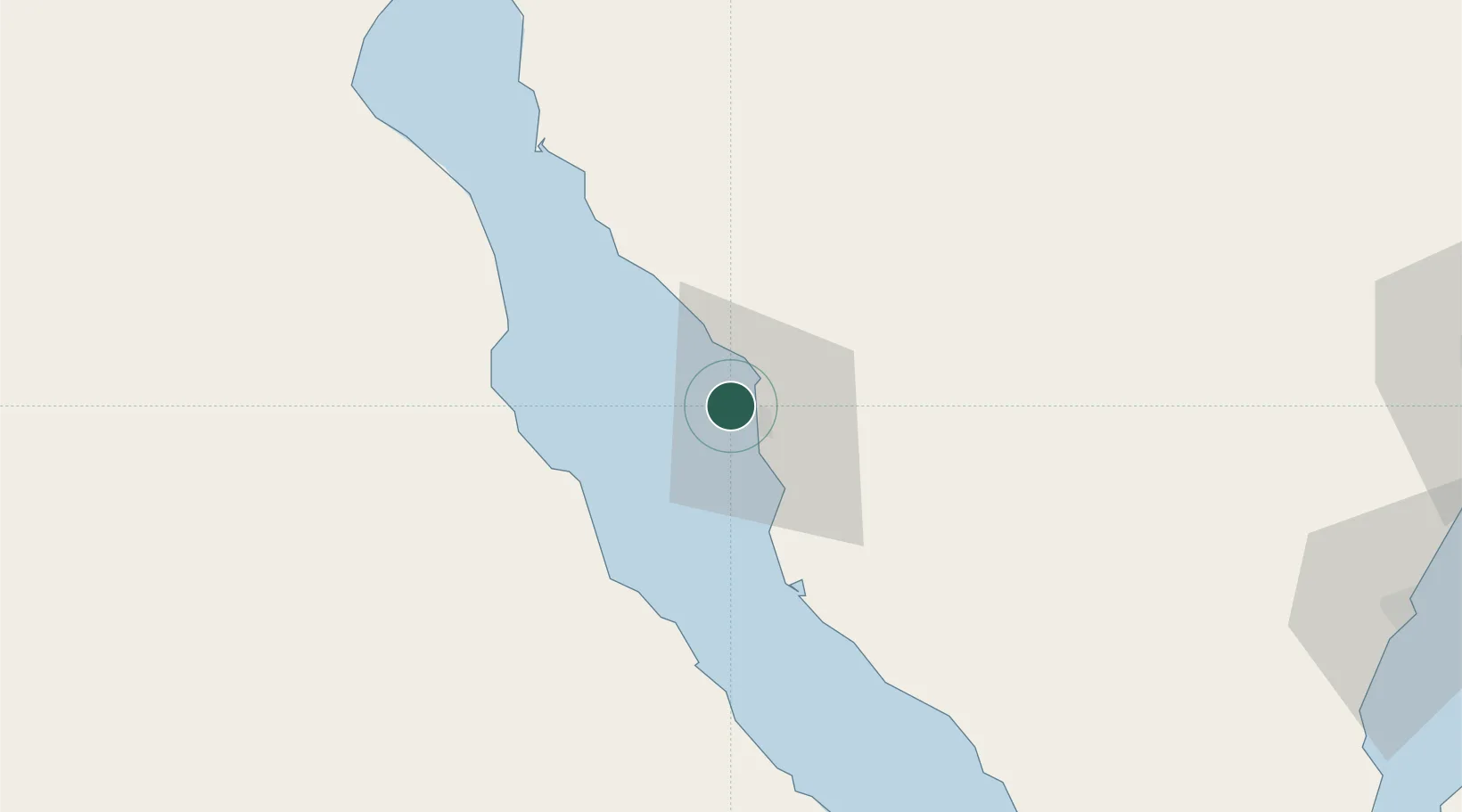
Location
Nearby Logistics Neighbours
Cities
- 1Abu Zenimah13 km
- 2Dome Marina83 km
- 3Ras Sudr86 km
- 4Galala Marina89 km
- 5El Tor92 km
Ports
- 1Ras Abu Zanimah11 km
- 2Wadi Feiran22 km
- 3Ras Gharib65 km
- 4Ras Sudr83 km
- 5Ras Shukhier90 km
Airports
Trade Zones
- 1Suez Canal Economic Zone117 km
- 2Suez Public Free Zone125 km
- 3Red Sea Project186 km
- 4Eilat Free Port Zone188 km
- 5Shkhoret Industrial Zone190 km
DatabookThe Record of Consolidated Knowledge
Egypt beyond logistics?