Large airport · Egypt

Saint Catherine International AirportHESC
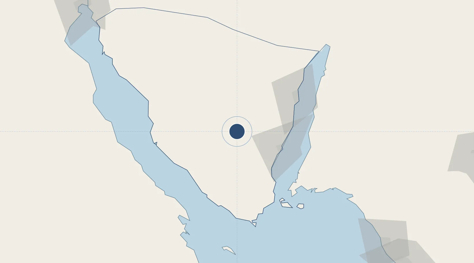
28.6843°, 34.0644°
6,939 ft
Longest runway
1
Runways
4,402 ft
Elevation

Runway & Layout

Saint Catherine International Airport runway & taxiway layout
Runway & taxiway layout — OpenStreetMap (ODbL) / OurAirports

Radio Frequencies

TWR
122.8 MHz
RDO
579 MHz
Cathrine Radio
OurAirports

Navaids

CAT NDB St Catherine 262 kHz
OurAirports

Runways · 1

RunwayDimensions SurfaceTrue headingLit
17/35 6,939 × 118ft Asphalt 172°
OurAirports

Airport Specifications

IATA code
SKV
OurAirports
ICAO code
HESC
OurAirports
Airport class
Large airport
OurAirports
Scheduled service
Yes
OurAirports
Runway surface
Asphalt
OurAirports
Served city
Saint Catherine
OurAirports

Location

Location of HESC
Natural Earth 10m (public domain) · Janub Sina' · HESC · 28.68, 34.06GoogleOSMYandex

Nearby Logistics Neighbours

Airports
  1. 1Sharm El Sheikh International Airport85 km
  2. 2Taba International Airport123 km
  3. 3King Hussein International Airport139 km
  4. 4Neom Bay Airport147 km
  5. 5Ramon International Airport148 km
Nearest neighbours — logibook spatial index (haversine) over the source coordinates
Cities
  1. 1Nuwaiba65 km
  2. 2El Tor67 km
  3. 3Sharm ash Shaykh93 km
  4. 4Ras Budran96 km
  5. 5Abu Zenimah102 km
Nearest neighbours — logibook spatial index (haversine) over the source coordinates
Ports
  1. 1Nuwaybi'65 km
  2. 2At Tur67 km
  3. 3Wadi Feiran85 km
  4. 4Ras Badran Oil Terminal92 km
  5. 5Sharm El Sheikh95 km
Nearest neighbours — logibook spatial index (haversine) over the source coordinates
Trade Zones
  1. 1Red Sea Project95 km
  2. 2Eilat Free Port Zone126 km
  3. 3Shkhoret Industrial Zone131 km
  4. 4Aqaba Special Economic Zone133 km
  5. 5Aqaba International Industrial Estate138 km
Nearest neighbours — logibook spatial index (haversine) over the source coordinates
DatabookThe Record of Consolidated Knowledge
Egypt beyond logistics?
Browse databook

All Sources

AirportsOurAirports
Public domain
Portsthe NGA World Port Index
Public domain (US gov)
LocationsUN/LOCODE
UN/LOCODE — free
Trade Zonesthe World Bank SEZ database
CC BY 4.0
Trade ZonesOpen Zone Map
CC BY
InfrastructureOpenStreetMap
ODbL 1.0
← Egypt airports