UN/LOCODE hub · Egypt
EGSSH

Sharm ash Shaykh

27.8667°, 34.2833°
2
Transport functions

Transport Functions

Port
Airport
Sharm ash Shaykh is also a profiled seaport →
UN/LOCODE

Hub Profile

Region
JS
GeoNames

Location

Location of EGSSH
Natural Earth 10m (public domain) · JS · EGSSH · 27.87, 34.28GoogleOSMYandex

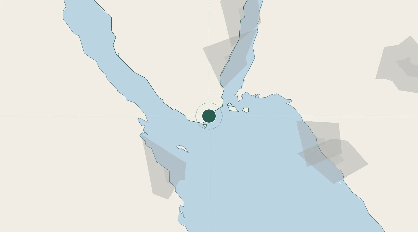
Nearby Logistics Neighbours

Cities
  1. 1El Tor77 km
  2. 2El-Guna (El Gouna)81 km
  3. 3Al Khuraibah89 km
  4. 4Soma Bay Marina117 km
  5. 5Nuwaiba128 km
Nearest neighbours — logibook spatial index (haversine) over the source coordinates
Ports
  1. 1Zeit Bay Terminal67 km
  2. 2At Tur77 km
  3. 3El Ghardaqa84 km
  4. 4Ras Shukhier103 km
  5. 5Nuwaybi'128 km
Nearest neighbours — logibook spatial index (haversine) over the source coordinates
Airports
  1. 1Sharm El Sheikh International Airport17 km
  2. 2Hurghada International Airport91 km
  3. 3Saint Catherine International Airport93 km
  4. 4Neom Bay Airport100 km
  5. 5Taba International Airport198 km
Nearest neighbours — logibook spatial index (haversine) over the source coordinates
Trade Zones
  1. 1Red Sea Project50 km
  2. 2Safaga Free Zone129 km
  3. 3Eilat Free Port Zone195 km
  4. 4Aqaba Special Economic Zone200 km
  5. 5Shkhoret Industrial Zone202 km
Nearest neighbours — logibook spatial index (haversine) over the source coordinates
DatabookThe Record of Consolidated Knowledge
Egypt beyond logistics?
Browse databook

All Sources

LocationsUN/LOCODE
UN/LOCODE — free
Portsthe NGA World Port Index
Public domain (US gov)
AirportsOurAirports
Public domain
Trade Zonesthe World Bank SEZ database
CC BY 4.0
Trade ZonesOpen Zone Map
CC BY
← Egypt locations