Transport Functions
Port
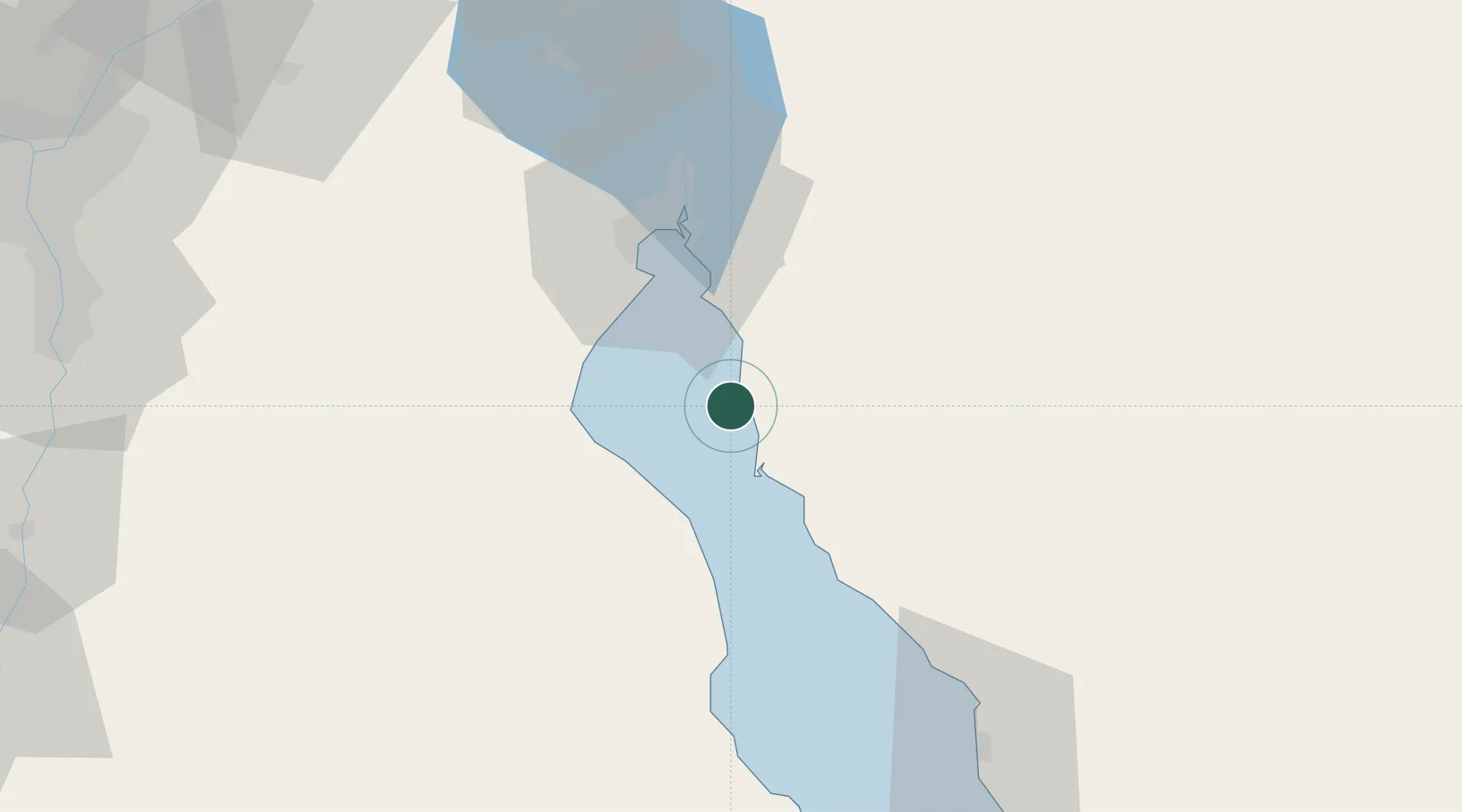
Location
Nearby Logistics Neighbours
Cities
- 1Dome Marina26 km
- 2Galala Marina27 km
- 3Marsa Oriental Petrochemicals32 km
- 4Sokhna Port33 km
- 5Al Adabiyah39 km
Ports
- 1Ain Sukhna Terminal30 km
- 2Sokhna Port Gas Tanker Terminal30 km
- 3El-Adabiya35 km
- 4As Suways42 km
- 5Ras Abu Zanimah77 km
Airports
- 1Capital International Airport95 km
- 2Bardawil International Airport102 km
- 3Ismailia Air Base119 km
- 4Abu Suwayr Air Base121 km
- 5Bilbeis 2 Airfield132 km
Trade Zones
- 1Suez Canal Economic Zone37 km
- 2Suez Public Free Zone40 km
- 310th of Ramadan Free Zone118 km
- 4Ishmailia Public Free Zone120 km
- 5El Saf Investment Zone135 km
DatabookThe Record of Consolidated Knowledge
Egypt beyond logistics?