Transport Functions
Port
Road
Hub Profile
Region
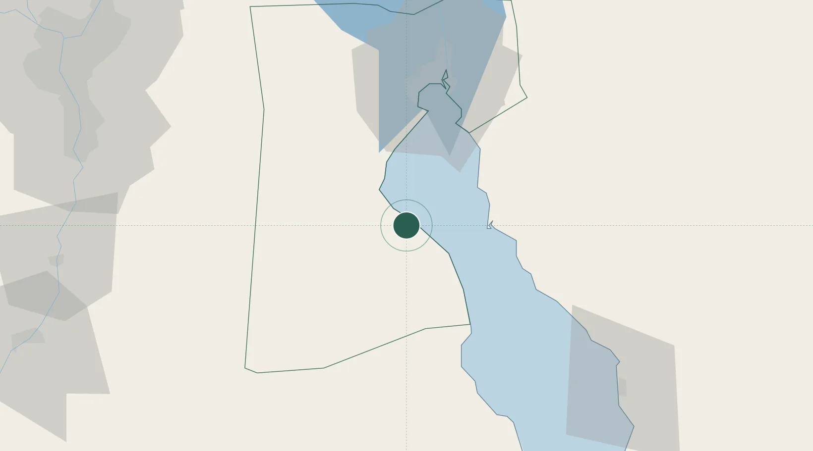
SUZ
Location
Nearby Logistics Neighbours
Cities
- 1Dome Marina6 km
- 2Sokhna Port24 km
- 3Marsa Oriental Petrochemicals25 km
- 4Ras Sudr27 km
- 5Al Adabiyah49 km
Ports
- 1Ain Sukhna Terminal21 km
- 2Sokhna Port Gas Tanker Terminal25 km
- 3Ras Sudr29 km
- 4El-Adabiya45 km
- 5As Suways57 km
Airports
- 1Capital International Airport88 km
- 2Cairo International Airport123 km
- 3Almaza Air Force Base125 km
- 4Bardawil International Airport126 km
- 5Abu Suwayr Air Base127 km
Trade Zones
- 1Suez Canal Economic Zone30 km
- 2Suez Public Free Zone55 km
- 3El Saf Investment Zone113 km
- 410th of Ramadan Free Zone113 km
- 5Nasr City Public Free Zone122 km
DatabookThe Record of Consolidated Knowledge
Egypt beyond logistics?