Transport Functions
Port
Rail
Road
Hub Profile
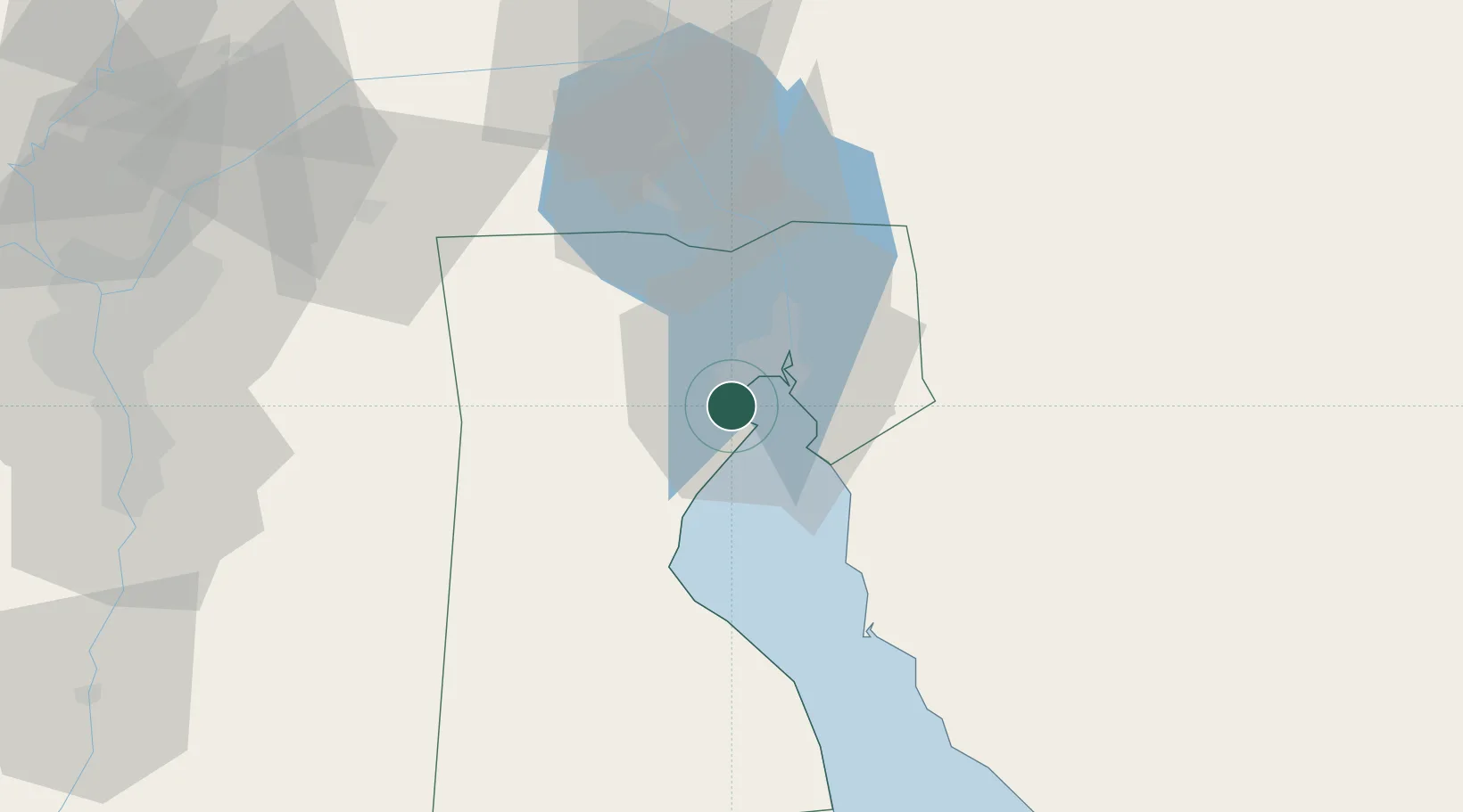
Place type
Populated place
Region
Suez
Time zone
Africa/Cairo
Elevation
9 m
Logistics facilities
1
Location
Nearby Logistics Neighbours
Cities
- 1As Suways (Suez)9 km
- 2Marsa Oriental Petrochemicals27 km
- 3Sokhna Port29 km
- 4Ras Sudr39 km
- 5Galala Marina49 km
Ports
- 1As Suways11 km
- 2Sokhna Port Gas Tanker Terminal26 km
- 3Ain Sukhna Terminal30 km
- 4Ras Sudr43 km
- 5El Ismailiya77 km
Airports
- 1Capital International Airport62 km
- 2Ismailia Air Base80 km
- 3Abu Suwayr Air Base82 km
- 4Bardawil International Airport87 km
- 5Bilbeis 2 Airfield95 km
Trade Zones
DatabookThe Record of Consolidated Knowledge
Egypt beyond logistics?