Diversified Zone · Egypt

Suez Canal Economic Zone Active
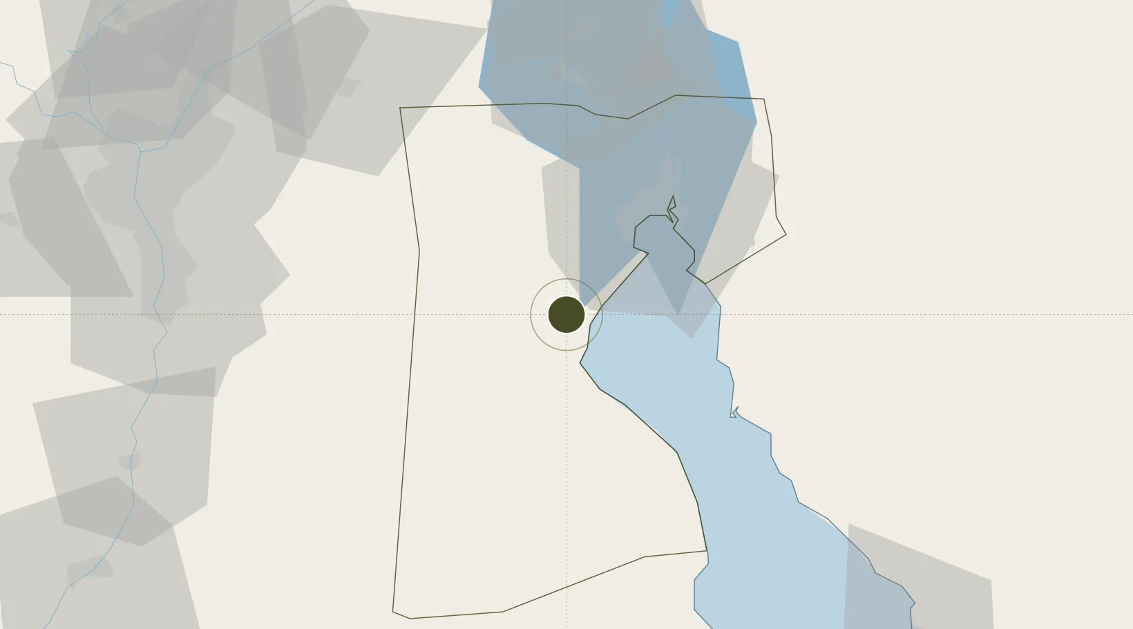
29.7132°, 32.3046°
46,100 ha
Zone area
6.9 km
Nearest port
59.4 km
Nearest airport

Gateway access

Nearest neighbours — logibook spatial index (haversine) over the source coordinates

Zone profile

Zone type
Diversified Zone
Open Zone Map
Region
As Suways
Open Zone Map
Status
Active
Open Zone Map
Management
Public
Open Zone Map
Operator
General Authority for the Suez Canal Economic Zone
Open Zone Map
Legal framework
Law No.330/2015
Open Zone Map

Location

Location of ozm-1852
Natural Earth 10m (public domain) · As Suways · ozm-1852 · 29.71, 32.30GoogleOSMYandex

Nearby Logistics Neighbours

Ports
  1. 1Sokhna Port Gas Tanker Terminal7 km
  2. 2Ain Sukhna Terminal9 km
  3. 3El-Adabiya23 km
  4. 4As Suways37 km
  5. 5Ras Sudr41 km
Nearest neighbours — logibook spatial index (haversine) over the source coordinates
Airports
  1. 1Capital International Airport59 km
  2. 2Abu Suwayr Air Base98 km
  3. 3Cairo International Airport98 km
  4. 4Ismailia Air Base99 km
  5. 5Bilbeis 2 Airfield99 km
Nearest neighbours — logibook spatial index (haversine) over the source coordinates
Cities
  1. 1Marsa Oriental Petrochemicals6 km
  2. 2Sokhna Port6 km
  3. 3Al Adabiyah26 km
  4. 4Galala Marina30 km
  5. 5As Suways (Suez)35 km
Nearest neighbours — logibook spatial index (haversine) over the source coordinates
Trade Zones
  1. 1Suez Public Free Zone36 km
  2. 210th of Ramadan Free Zone84 km
  3. 3Ain Shams University Investment Zone99 km
  4. 4Nasr City Public Free Zone99 km
  5. 5Nasr Free Economic Zone99 km
Nearest neighbours — logibook spatial index (haversine) over the source coordinates
DatabookThe Record of Consolidated Knowledge
Egypt beyond logistics?
Browse databook

All Sources

Trade ZonesOpen Zone Map
CC BY
Portsthe NGA World Port Index
Public domain (US gov)
AirportsOurAirports
Public domain
LocationsUN/LOCODE
UN/LOCODE — free
← Egypt trade zones