Large airport · Egypt
Cairo International AirportHECA
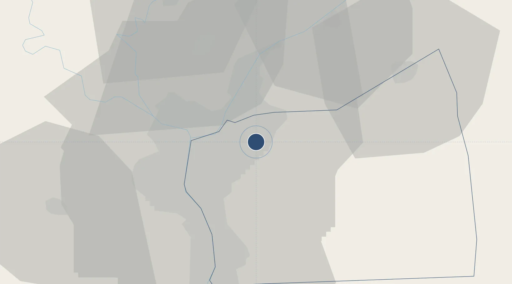
30.1115°, 31.3967°
13,124 ft
Longest runway
3
Runways
322 ft
Elevation
Runway & Layout

Radio Frequencies
ATIS
122.6 MHz
TWR
118.1 MHz
GND
121.9 MHz
APP
119.05 MHz
MISC
126.2 MHz
VOLMET
PFLT
120.1 MHz
PREFLIGHT
rdo
11.3 MHz
cairo radio
Volmet
124.6 MHz
Navaids
ALI NDB Cairo 310 kHz
CAI VOR-DME Cairo 112.50 MHz
CVO VOR-DME Cairo 115.20 MHz
MKT NDB Cairo 317 kHz
Runways · 3
| Runway | Dimensions | Surface | True heading | Lit |
|---|---|---|---|---|
| 05R/23L | 13,124 × 197ft | Asphalt | 049° | ✓ |
| 05C/23C | 13,123 × 197ft | Asphalt | 045° | ✓ |
| 05L/23R | 10,827 × 197ft | Asphalt | 049° | ✓ |
Airport Specifications
IATA code
CAI
ICAO code
HECA
Airport class
Large airport
Scheduled service
Yes
Runway surface
Asphalt
Served city
Cairo
Location
Nearby Logistics Neighbours
Airports
- 1Almaza Air Force Base4 km
- 2Bilbeis Air Base37 km
- 3Capital International Airport43 km
- 4Bilbeis 2 Airfield44 km
- 5Cairo West Air Base46 km
Cities
- 1Bahtim13 km
- 2Qalyub20 km
- 3Badr31 km
- 410th of Ramadan City34 km
- 5Ain Sukhna41 km
Ports
- 1El Ismailiya100 km
- 2Sokhna Port Gas Tanker Terminal105 km
- 3El-Adabiya107 km
- 4Ain Sukhna Terminal107 km
- 5As Suways112 km
Trade Zones
DatabookThe Record of Consolidated Knowledge
Egypt beyond logistics?