UN/LOCODE hub · Egypt
EGGLB

Port Ghalib

25.5333°, 34.6333°
2
Transport functions

Transport Functions

Port
Road
UN/LOCODE

Hub Profile

Region
BA
GeoNames

Location

Location of EGGLB
Natural Earth 10m (public domain) · BA · EGGLB · 25.53, 34.63GoogleOSMYandex

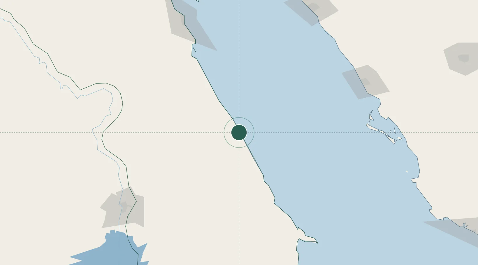
Nearby Logistics Neighbours

Cities
  1. 1Al Qusayr72 km
  2. 2Abu Ghosoun133 km
  3. 3Soma Bay Marina160 km
  4. 4El-Guna (El Gouna)227 km
  5. 5Port of NEOM243 km
Nearest neighbours — logibook spatial index (haversine) over the source coordinates
Ports
  1. 1Al Qusayr72 km
  2. 2Hamrawein91 km
  3. 3Safaja150 km
  4. 4El Ghardaqa203 km
  5. 5Duba243 km
Nearest neighbours — logibook spatial index (haversine) over the source coordinates
Airports
  1. 1Marsa Alam International Airport5 km
  2. 2Berenice International Airport / Banas Cape Air Base192 km
  3. 3Luxor International Airport194 km
  4. 4Al Wajh Domestic Airport199 km
  5. 5Hurghada International Airport201 km
Nearest neighbours — logibook spatial index (haversine) over the source coordinates
Trade Zones
  1. 1Safaga Free Zone152 km
  2. 2Qift (Keft) Free Zone193 km
  3. 3Esna Center Investment Zone210 km
  4. 4Red Sea Project282 km
  5. 5El-Kawthar District Industrial Zone307 km
Nearest neighbours — logibook spatial index (haversine) over the source coordinates
DatabookThe Record of Consolidated Knowledge
Egypt beyond logistics?
Browse databook

All Sources

LocationsUN/LOCODE
UN/LOCODE — free
Portsthe NGA World Port Index
Public domain (US gov)
AirportsOurAirports
Public domain
Trade Zonesthe World Bank SEZ database
CC BY 4.0
Trade ZonesOpen Zone Map
CC BY
← Egypt locations