Transport Functions
Port
Road
Hub Profile
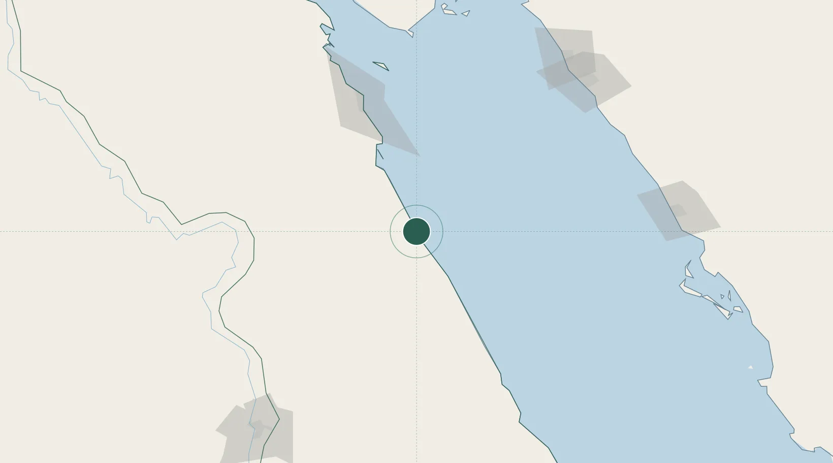
Place type
Populated place
Region
Red Sea
Population
24,653
Time zone
Africa/Cairo
Elevation
23 m
Location
Nearby Logistics Neighbours
Cities
- 1Port Ghalib72 km
- 2Soma Bay Marina89 km
- 3El-Guna (El Gouna)155 km
- 4Sharm ash Shaykh196 km
- 5Abu Ghosoun205 km
Ports
- 1Hamrawein19 km
- 2Safaja78 km
- 3El Ghardaqa131 km
- 4Sharm El Sheikh195 km
- 5Zeit Bay Terminal204 km
Airports
Trade Zones
- 1Safaga Free Zone80 km
- 2Qift (Keft) Free Zone155 km
- 3Esna Center Investment Zone193 km
- 4Red Sea Project223 km
- 5El-Kawthar District Industrial Zone253 km
DatabookThe Record of Consolidated Knowledge
Egypt beyond logistics?