Large airport · Egypt

Marsa Alam International AirportHEMA
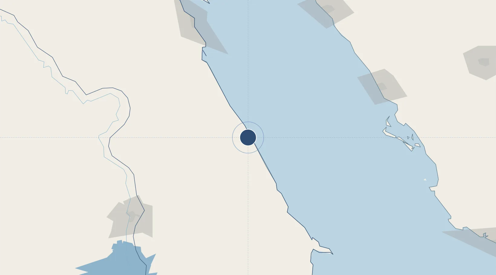
25.5555°, 34.5924°
11,253 ft
Longest runway
1
Runways
213 ft
Elevation

Runway & Layout

Marsa Alam International Airport runway & taxiway layout
Runway & taxiway layout — OpenStreetMap (ODbL) / OurAirports

Radio Frequencies

TWR
121 MHz
GND
121.9 MHz
APP
121 MHz
EMR
121.9 MHz
FIRE
OurAirports

Navaids

MAK VOR-DME Marsa Alam 115.50 MHz
OurAirports

Runways · 1

RunwayDimensions SurfaceTrue headingLit
15/33 11,253 × 148ft Asphalt 150°
OurAirports

Airport Specifications

IATA code
RMF
OurAirports
ICAO code
HEMA
OurAirports
Airport class
Large airport
OurAirports
Scheduled service
Yes
OurAirports
Runway surface
Asphalt
OurAirports
Served city
Marsa Alam
OurAirports

Location

Location of HEMA
Natural Earth 10m (public domain) · Al Bahr al Ahmar · HEMA · 25.56, 34.59GoogleOSMYandex

Nearby Logistics Neighbours

Airports
  1. 1Luxor International Airport190 km
  2. 2Berenice International Airport / Banas Cape Air Base196 km
  3. 3Hurghada International Airport197 km
  4. 4Al Wajh Domestic Airport202 km
  5. 5Red Sea International Airport251 km
Nearest neighbours — logibook spatial index (haversine) over the source coordinates
Cities
  1. 1Port Ghalib5 km
  2. 2Al Qusayr68 km
  3. 3Abu Ghosoun137 km
  4. 4Soma Bay Marina156 km
  5. 5El-Guna (El Gouna)223 km
Nearest neighbours — logibook spatial index (haversine) over the source coordinates
Ports
  1. 1Al Qusayr68 km
  2. 2Hamrawein87 km
  3. 3Safaja146 km
  4. 4El Ghardaqa199 km
  5. 5Duba242 km
Nearest neighbours — logibook spatial index (haversine) over the source coordinates
Trade Zones
  1. 1Safaga Free Zone148 km
  2. 2Qift (Keft) Free Zone189 km
  3. 3Esna Center Investment Zone206 km
  4. 4Red Sea Project280 km
  5. 5El-Kawthar District Industrial Zone302 km
Nearest neighbours — logibook spatial index (haversine) over the source coordinates
DatabookThe Record of Consolidated Knowledge
Egypt beyond logistics?
Browse databook

All Sources

AirportsOurAirports
Public domain
Portsthe NGA World Port Index
Public domain (US gov)
LocationsUN/LOCODE
UN/LOCODE — free
Trade Zonesthe World Bank SEZ database
CC BY 4.0
Trade ZonesOpen Zone Map
CC BY
InfrastructureOpenStreetMap
ODbL 1.0
← Egypt airports