Transport Functions
Port
Road
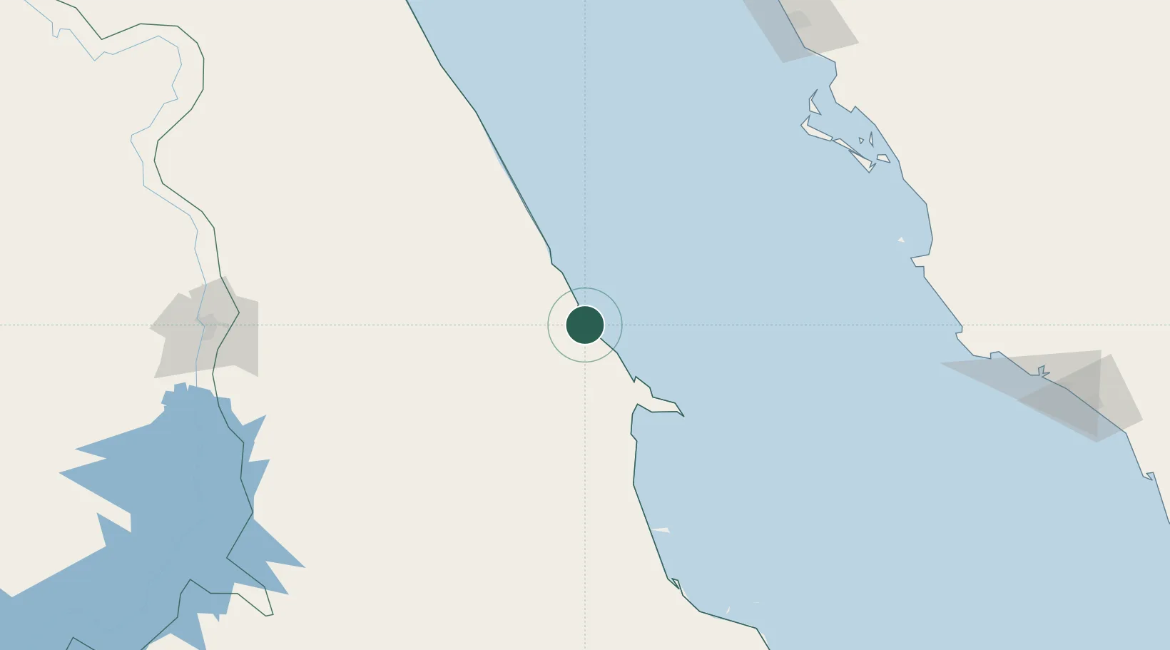
Location
Nearby Logistics Neighbours
Cities
- 1Port Ghalib133 km
- 2Al Qusayr205 km
- 3Umm Lajj218 km
- 4Yanbu commercial city292 km
- 5Soma Bay Marina293 km
Ports
- 1Al Qusayr205 km
- 2Hamrawein224 km
- 3Safaja283 km
- 4Yanbu292 km
- 5El Ghardaqa336 km
Airports
Trade Zones
- 1Esna Center Investment Zone284 km
- 2Safaga Free Zone285 km
- 3Yanbu Modon Oasis291 km
- 4Qift (Keft) Free Zone295 km
- 5Yanbu Industrial City314 km
DatabookThe Record of Consolidated Knowledge
Egypt beyond logistics?