Free Trade Zone · Colombia

Permanent Free Trade Zone Santelca Active
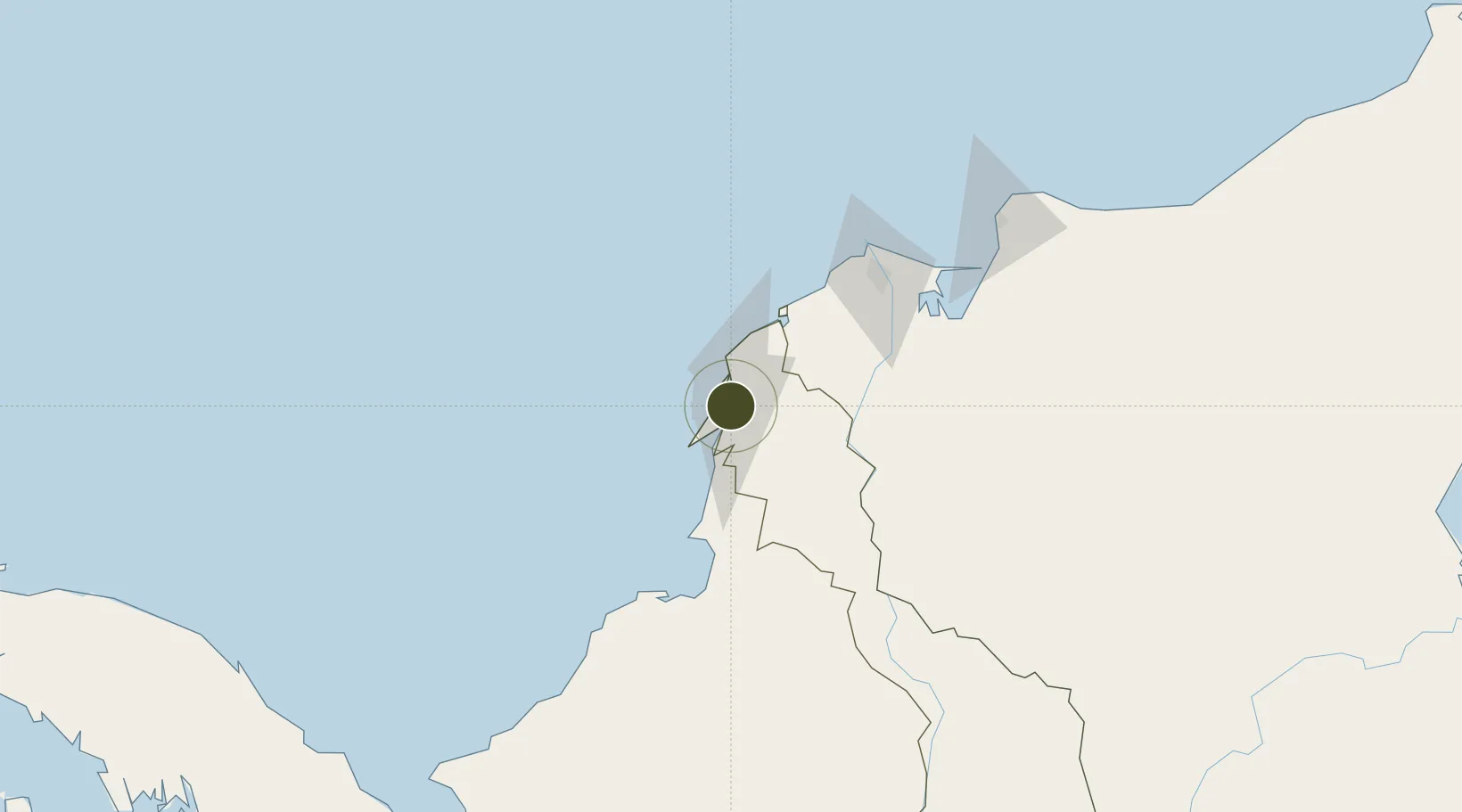
10.3303°, -75.4990°
73 ha
Zone area
2.5 km
Nearest port
12.6 km
Nearest airport

Gateway access

Nearest neighbours — logibook spatial index (haversine) over the source coordinates

Zone profile

Zone type
Free Trade Zone
Open Zone Map
Region
Bolívar
Open Zone Map
Status
Active
Open Zone Map
Management
Private
Open Zone Map
Operator
Santelca, SAS
Open Zone Map
Legal framework
Law 1004/2005 Decree 383 and 4051
Open Zone Map

Location

Location of ozm-1649
Natural Earth 10m (public domain) · Bolívar · ozm-1649 · 10.33, -75.50GoogleOSMYandex

Nearby Logistics Neighbours

Ports
  1. 1Mamonal3 km
  2. 2El Bosque9 km
  3. 3Cartagena10 km
  4. 4Covenas Offshore Term.96 km
  5. 5Covenas104 km
Nearest neighbours — logibook spatial index (haversine) over the source coordinates
Airports
  1. 1Rafael Nuñez International Airport13 km
  2. 2Golfo de Morrosquillo Airport92 km
  3. 3Ernesto Cortissoz International Airport100 km
  4. 4Coveñas Airport106 km
  5. 5Las Brujas Airport113 km
Nearest neighbours — logibook spatial index (haversine) over the source coordinates
Cities
  1. 1Mamonal2 km
  2. 2Cartagena4 km
  3. 3Contecar6 km
  4. 4Sociedad Portuaria Regional Cartagena9 km
  5. 5Turbaco11 km
Nearest neighbours — logibook spatial index (haversine) over the source coordinates
DatabookThe Record of Consolidated Knowledge
Colombia beyond logistics?
Browse databook

All Sources

Trade ZonesOpen Zone Map
CC BY
Portsthe NGA World Port Index
Public domain (US gov)
AirportsOurAirports
Public domain
LocationsUN/LOCODE
UN/LOCODE — free
← Colombia trade zones