Free Industrial Zone · Colombia
Uraba Permanent Free Trade Zone Active
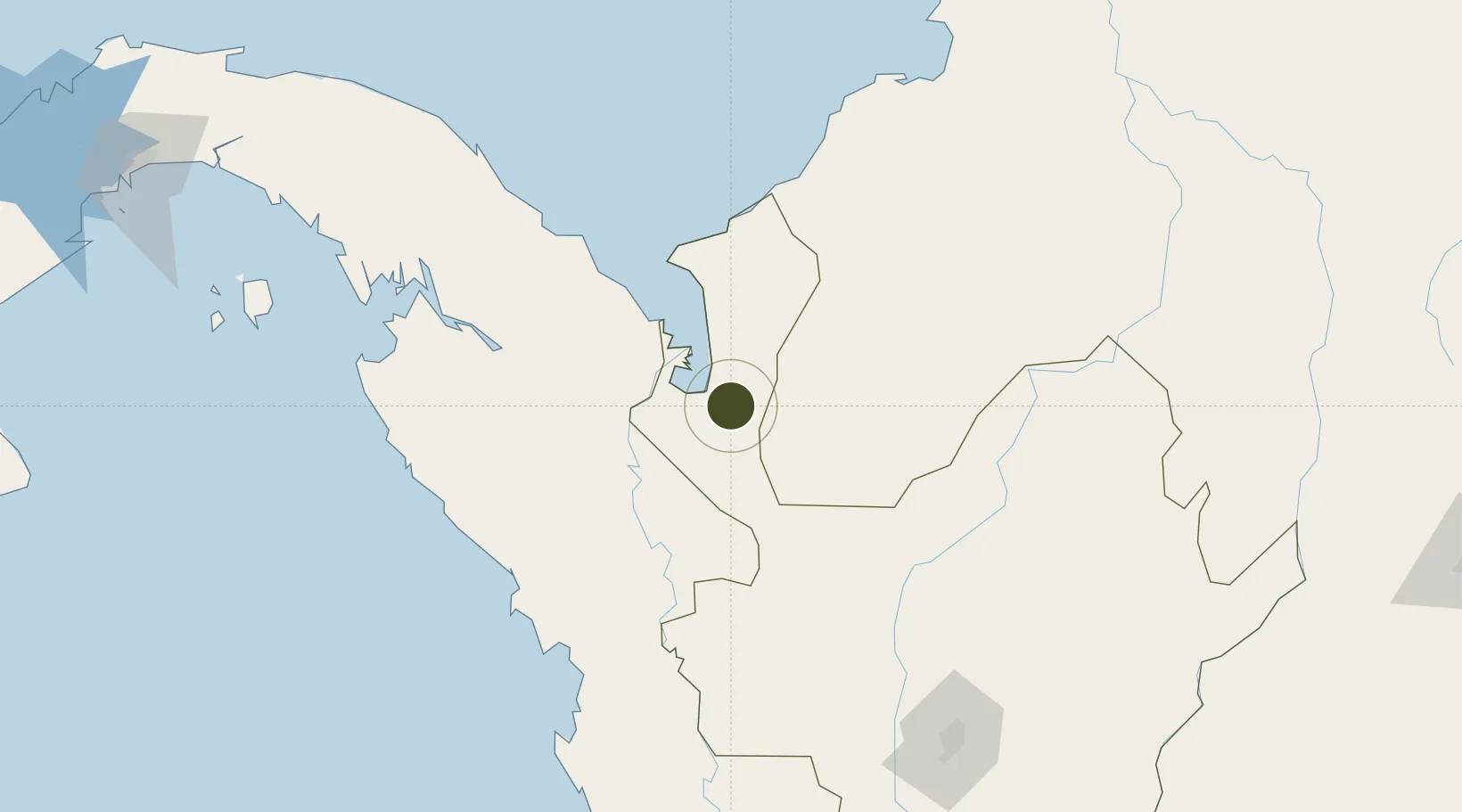
7.8528°, -76.6405°
26 ha
Zone area
27.6 km
Nearest port
9.5 km
Nearest airport
Gateway access
Zone profile
Zone type
Free Industrial Zone
Region
Antioquia
Status
Active
Established
2009
Management
Private management
Operator
Permanent Uraba Free Trade Zone S.A.S.
Regulatory authority
Comision Intersectorial de Zonas Francas
Legal framework
Law 1004/2005 Decree 383 and 4051
Location
Fiscal & incentives
Corporate tax
25%
Tax relief
Reduced fixed-rate at 20%
Relief duration
Perpetual
VAT
No exemption
Import duty (inputs)
100% exempt
Import duty (capex)
100% exempt
Profit repatriation
No exemption
Capital gains
No exemption
Withholding tax
No exemption
Min. investment
$0 - $2.4M in first three years depending on size of company assets
Min. export
0%
Employment incentive
No exemption
Developer incentive
Yes
Nearby Logistics Neighbours
Ports
- 1Turbo28 km
- 2Covenas203 km
- 3Covenas Offshore Term.209 km
- 4Mamonal301 km
- 5El Bosque308 km
Airports
- 1Antonio Roldán Betancur Airport10 km
- 2Los Garzones Airport140 km
- 3Juan H White Airport159 km
- 4Bahia Piña Airport172 km
- 5Coveñas Airport201 km
Cities
- 1Turbo20 km
- 2Rio Cordoba122 km
- 3Antioquia171 km
- 4Puerto Limón177 km
- 5Covenas Offshore Terminal209 km
Trade Zones
- 1Zona Franca Internacional Del Valle De Aburrá228 km
- 2Zona Franca Rio Negro232 km
- 3Zona Franca de Las Américas324 km
- 4Zona Franca Panapark326 km
- 5Parque Logístico de Panamá329 km
DatabookThe Record of Consolidated Knowledge
Colombia beyond logistics?