Small airport · Panama

Bahia Piña AirportPA-BFQ

7.5874°, -78.1799°
14 ft
Elevation

Runway & Layout

Bahia Piña Airport runway & taxiway layout
Runway & taxiway layout — OpenStreetMap (ODbL) / OurAirports

Airport Specifications
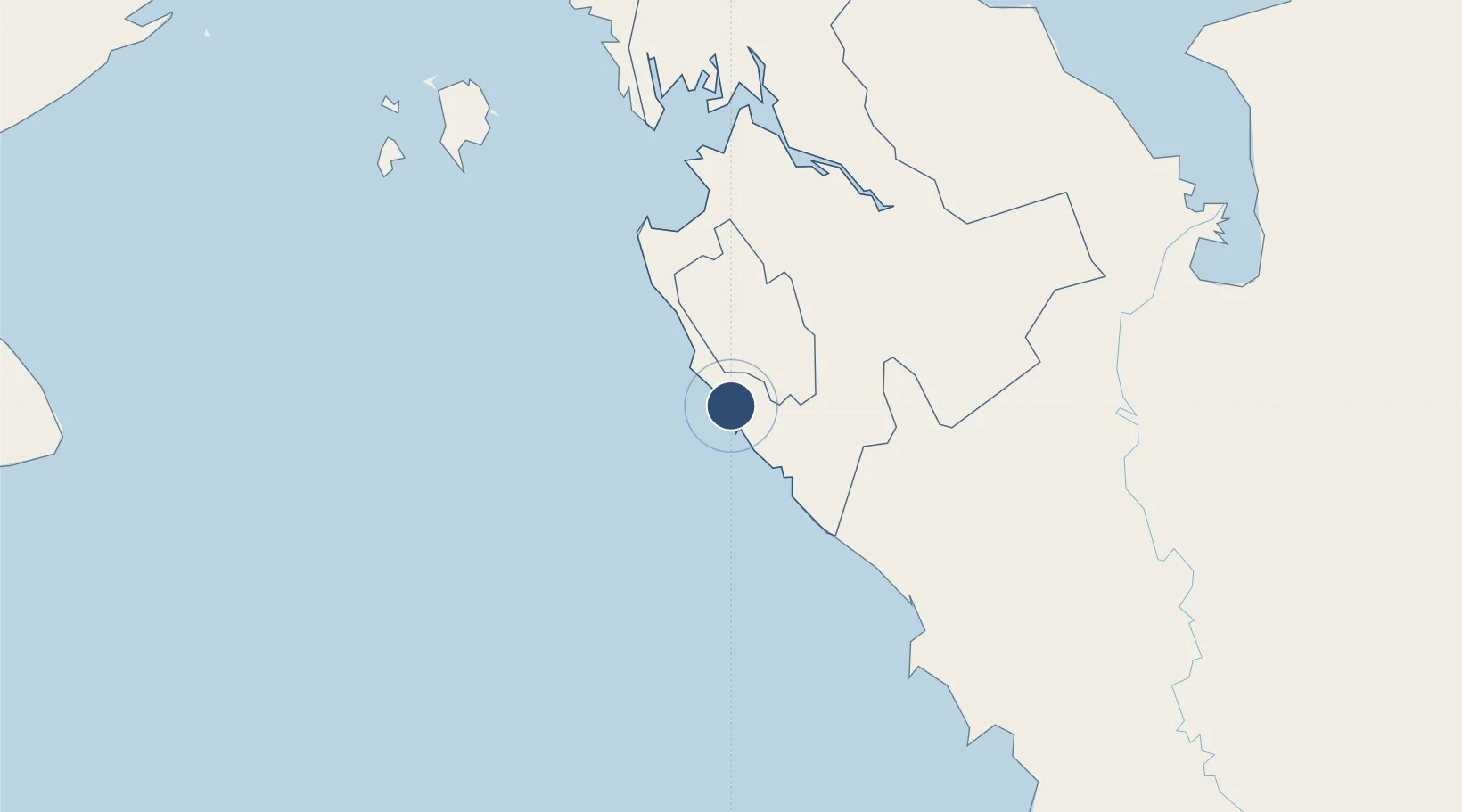
IATA code
BFQ
OurAirports
ICAO code
MPPI
OurAirports
Airport class
Small airport
OurAirports
Scheduled service
Yes
OurAirports
Served city
Puerto Piña
OurAirports

Location

Location of PA-BFQ
Natural Earth 10m (public domain) · Darién · PA-BFQ · 7.59, -78.18GoogleOSMYandex

Nearby Logistics Neighbours

Airports
  1. 1Raul Arias Espinoza Airport149 km
  2. 2Antonio Roldán Betancur Airport163 km
  3. 3José Celestino Mutis Airport177 km
  4. 4Capt. J. Montenegro Airport206 km
  5. 5Tocumen International Airport212 km
Nearest neighbours — logibook spatial index (haversine) over the source coordinates
Cities
  1. 1Turbo160 km
  2. 2Taboguilla198 km
  3. 3Melones206 km
  4. 4Tocumen213 km
  5. 5Hettimulla213 km
Nearest neighbours — logibook spatial index (haversine) over the source coordinates
Ports
  1. 1Turbo169 km
  2. 2Balboa215 km
  3. 3Vacamonte217 km
  4. 4Bahia De Las Minas270 km
  5. 5Puerto Colon273 km
Nearest neighbours — logibook spatial index (haversine) over the source coordinates
Trade Zones
  1. 1Uraba Permanent Free Trade Zone172 km
  2. 2Zona Franca de Las Américas208 km
  3. 3Zona Franca Panapark210 km
  4. 4Panama-Tocumen International Airport212 km
  5. 5Parque Logí­stico de Panamá212 km
Nearest neighbours — logibook spatial index (haversine) over the source coordinates
DatabookThe Record of Consolidated Knowledge
Panama beyond logistics?
Browse databook

All Sources

AirportsOurAirports
Public domain
Portsthe NGA World Port Index
Public domain (US gov)
LocationsUN/LOCODE
UN/LOCODE — free
Trade Zonesthe World Bank SEZ database
CC BY 4.0
Trade ZonesOpen Zone Map
CC BY
InfrastructureOpenStreetMap
ODbL 1.0
← Panama airports