Free Trade Zone · Colombia

Mardique Permanent Free Zone (Zona Franca Permanente Mardique) Active
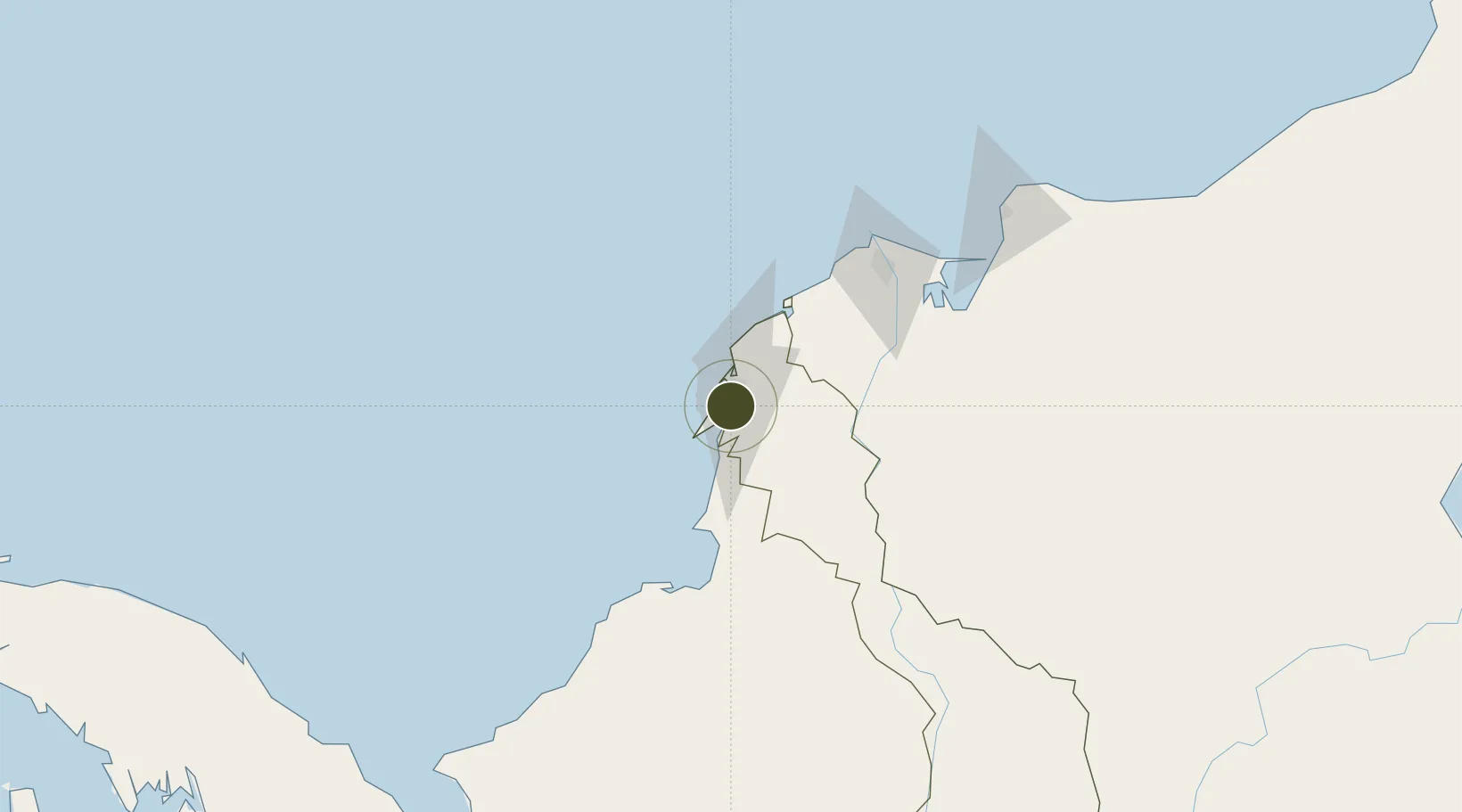
10.2883°, -75.5215°
127 ha
Zone area
3.2 km
Nearest port
17.2 km
Nearest airport

Gateway access

Nearest neighbours — logibook spatial index (haversine) over the source coordinates

Zone profile

Zone type
Free Trade Zone
Open Zone Map
Region
Bolívar
Open Zone Map
Status
Active
Open Zone Map
Management
Public
Open Zone Map
Operator
Sociedad Portuaria Mardique
Open Zone Map
Legal framework
Resolution No. 2639 of April 8 2014
Open Zone Map

Location

Location of ozm-1666
Natural Earth 10m (public domain) · Bolívar · ozm-1666 · 10.29, -75.52GoogleOSMYandex

Nearby Logistics Neighbours

Ports
  1. 1Mamonal3 km
  2. 2El Bosque13 km
  3. 3Cartagena14 km
  4. 4Covenas Offshore Term.91 km
  5. 5Covenas99 km
Nearest neighbours — logibook spatial index (haversine) over the source coordinates
Airports
  1. 1Rafael Nuñez International Airport17 km
  2. 2Golfo de Morrosquillo Airport87 km
  3. 3Coveñas Airport100 km
  4. 4Ernesto Cortissoz International Airport105 km
  5. 5Las Brujas Airport109 km
Nearest neighbours — logibook spatial index (haversine) over the source coordinates
Cities
  1. 1Mamonal4 km
  2. 2Cartagena9 km
  3. 3Contecar11 km
  4. 4Sociedad Portuaria Regional Cartagena13 km
  5. 5Turbaco14 km
Nearest neighbours — logibook spatial index (haversine) over the source coordinates
Trade Zones
  1. 1Permanent Free Trade Zone Santelca5 km
  2. 2Zona Franca la Candelaria6 km
  3. 3Parque Central Permanent Free Trade Zone14 km
  4. 4Puerta De Las Americas Free Trade Zone28 km
  5. 5La Cayena Free Trade Zone100 km
Nearest neighbours — logibook spatial index (haversine) over the source coordinates
DatabookThe Record of Consolidated Knowledge
Colombia beyond logistics?
Browse databook

All Sources

Trade ZonesOpen Zone Map
CC BY
Portsthe NGA World Port Index
Public domain (US gov)
AirportsOurAirports
Public domain
LocationsUN/LOCODE
UN/LOCODE — free
← Colombia trade zones