Medium airport · Colombia

Juan H White AirportSKCU
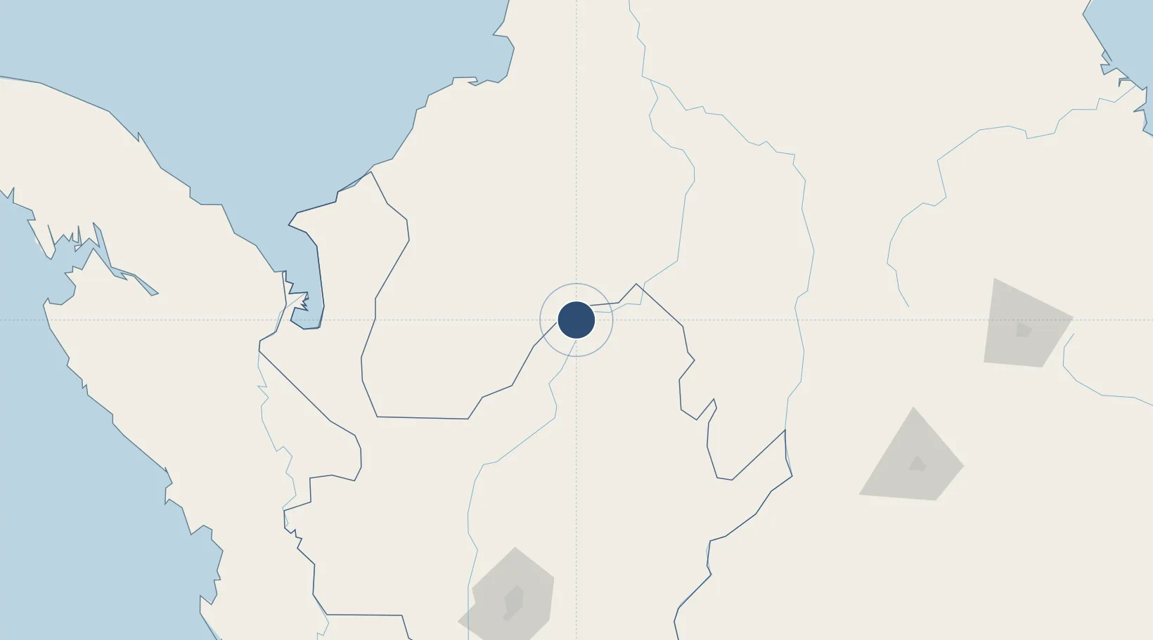
7.9685°, -75.1985°
3,794 ft
Longest runway
1
Runways
174 ft
Elevation

Runway & Layout

Juan H White Airport runway & taxiway layout
Runway & taxiway layout — OpenStreetMap (ODbL) / OurAirports

Runways · 1

RunwayDimensions SurfaceTrue headingLit
01/19 3,794 × 66ft Asphalt 014°
OurAirports

Airport Specifications

IATA code
CAQ
OurAirports
ICAO code
SKCU
OurAirports
Airport class
Medium airport
OurAirports
Scheduled service
No
OurAirports
Runway surface
Asphalt
OurAirports
Served city
Caucasia
OurAirports

Location

Location of SKCU
Natural Earth 10m (public domain) · Antioquia · SKCU · 7.97, -75.20GoogleOSMYandex

Nearby Logistics Neighbours

Airports
  1. 1El Bagre Airport60 km
  2. 2Los Garzones Airport118 km
  3. 3Baracoa Airport151 km
  4. 4Las Brujas Airport152 km
  5. 5Antonio Roldán Betancur Airport168 km
Nearest neighbours — logibook spatial index (haversine) over the source coordinates
Cities
  1. 1Rio Cordoba166 km
  2. 2Antioquia172 km
  3. 3Barrancabermeja172 km
  4. 4Turbo174 km
  5. 5Tolú179 km
Nearest neighbours — logibook spatial index (haversine) over the source coordinates
Ports
  1. 1Turbo170 km
  2. 2Covenas170 km
  3. 3Covenas Offshore Term.180 km
  4. 4Mamonal263 km
  5. 5El Bosque273 km
Nearest neighbours — logibook spatial index (haversine) over the source coordinates
Trade Zones
  1. 1Uraba Permanent Free Trade Zone159 km
  2. 2Zona Franca Rio Negro203 km
  3. 3Zona Franca Internacional Del Valle De Aburrá217 km
  4. 4Santander Free Trade Zone250 km
  5. 5Zona Franca de Cúcuta298 km
Nearest neighbours — logibook spatial index (haversine) over the source coordinates
DatabookThe Record of Consolidated Knowledge
Colombia beyond logistics?
Browse databook

All Sources

AirportsOurAirports
Public domain
Portsthe NGA World Port Index
Public domain (US gov)
LocationsUN/LOCODE
UN/LOCODE — free
Trade Zonesthe World Bank SEZ database
CC BY 4.0
Trade ZonesOpen Zone Map
CC BY
InfrastructureOpenStreetMap
ODbL 1.0
← Colombia airports