Transport Functions
Port
Road
Hub Profile
Place type
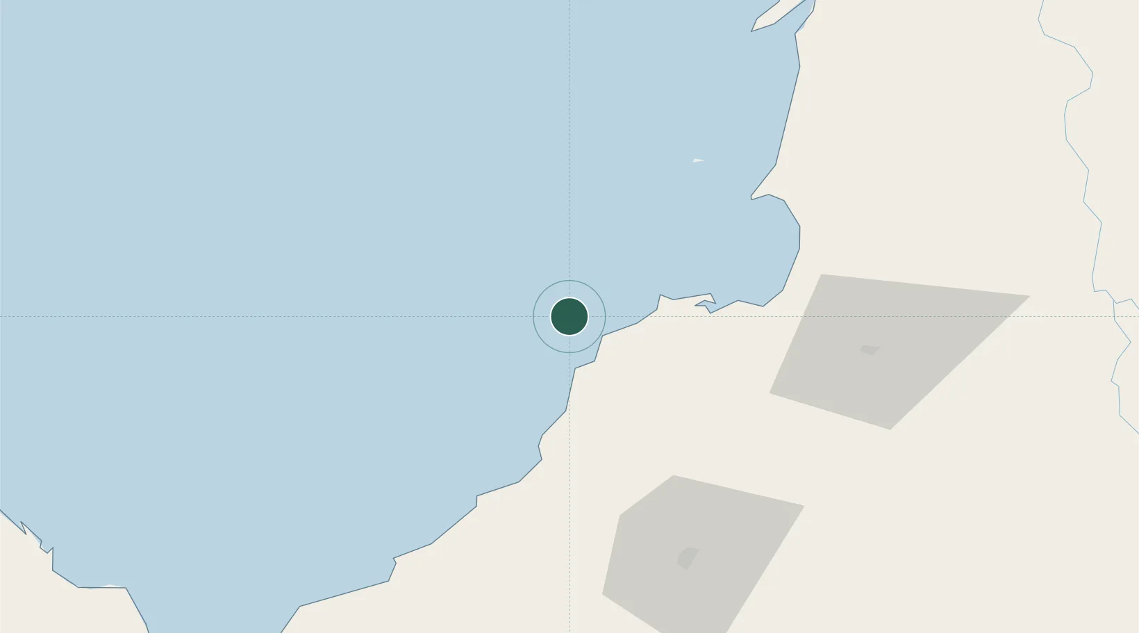
Populated place
Region
Córdoba
Time zone
America/Bogota
Elevation
10 m
Location
Nearby Logistics Neighbours
Cities
- 1Covenas Offshore Terminal51 km
- 2Rio Cordoba56 km
- 3Tolú68 km
- 4El Carmen de Bolívar123 km
- 5Mamonal128 km
Ports
- 1Covenas Offshore Term.51 km
- 2Covenas55 km
- 3Mamonal127 km
- 4El Bosque134 km
- 5Cartagena135 km
Airports
- 1Coveñas Airport54 km
- 2Golfo de Morrosquillo Airport67 km
- 3Los Garzones Airport74 km
- 4Las Brujas Airport99 km
- 5Rafael Nuñez International Airport139 km
DatabookThe Record of Consolidated Knowledge
Colombia beyond logistics?