Medium airport · Colombia

Antonio Roldán Betancur AirportSKLC
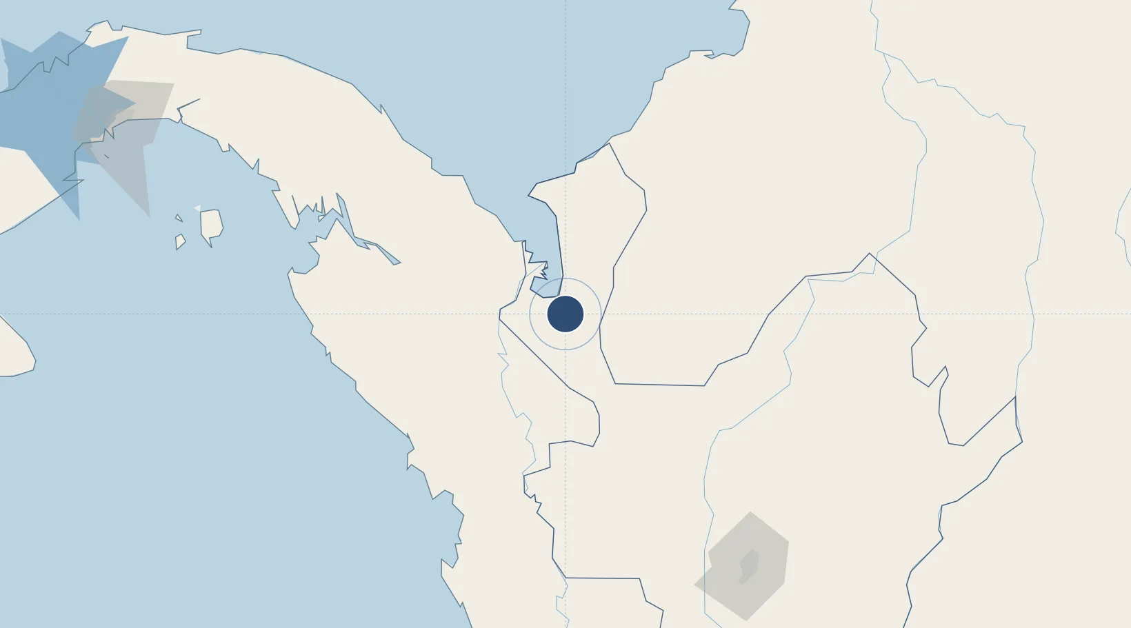
7.8120°, -76.7164°
7,153 ft
Longest runway
1
Runways
46 ft
Elevation

Runway & Layout

Antonio Roldán Betancur Airport runway & taxiway layout
Runway & taxiway layout — OpenStreetMap (ODbL) / OurAirports

Radio Frequencies

TWR
118.7 MHz
RDO
348.8 MHz
CAREPA RDO
OurAirports

Navaids

LCE VOR-DME Los Cedros 112.60 MHz
OurAirports

Runways · 1

RunwayDimensions SurfaceTrue headingLit
15/33 7,153 × 98ft Asphalt 150°
OurAirports

Airport Specifications

IATA code
APO
OurAirports
ICAO code
SKLC
OurAirports
Airport class
Medium airport
OurAirports
Scheduled service
Yes
OurAirports
Runway surface
Asphalt
OurAirports
Served city
Carepa
OurAirports

Location

Location of SKLC
Natural Earth 10m (public domain) · Antioquia · SKLC · 7.81, -76.72GoogleOSMYandex

Nearby Logistics Neighbours

Airports
  1. 1Los Garzones Airport149 km
  2. 2Bahia Piña Airport163 km
  3. 3Juan H White Airport168 km
  4. 4José Celestino Mutis Airport194 km
  5. 5Coveñas Airport210 km
Nearest neighbours — logibook spatial index (haversine) over the source coordinates
Cities
  1. 1Turbo19 km
  2. 2Rio Cordoba129 km
  3. 3Antioquia172 km
  4. 4Puerto Limón184 km
  5. 5Covenas Offshore Terminal217 km
Nearest neighbours — logibook spatial index (haversine) over the source coordinates
Ports
  1. 1Turbo30 km
  2. 2Covenas212 km
  3. 3Covenas Offshore Term.217 km
  4. 4Mamonal308 km
  5. 5El Bosque316 km
Nearest neighbours — logibook spatial index (haversine) over the source coordinates
Trade Zones
  1. 1Uraba Permanent Free Trade Zone10 km
  2. 2Zona Franca Internacional Del Valle De Aburrá228 km
  3. 3Zona Franca Rio Negro233 km
  4. 4Zona Franca de Las Américas319 km
  5. 5Zona Franca Panapark320 km
Nearest neighbours — logibook spatial index (haversine) over the source coordinates
DatabookThe Record of Consolidated Knowledge
Colombia beyond logistics?
Browse databook

All Sources

AirportsOurAirports
Public domain
Portsthe NGA World Port Index
Public domain (US gov)
LocationsUN/LOCODE
UN/LOCODE — free
Trade Zonesthe World Bank SEZ database
CC BY 4.0
Trade ZonesOpen Zone Map
CC BY
InfrastructureOpenStreetMap
ODbL 1.0
← Colombia airports