Transport Functions
Port
Airport
Hub Profile
Place type
Populated place
Region
Caquetá
Time zone
America/Bogota
Elevation
243 m
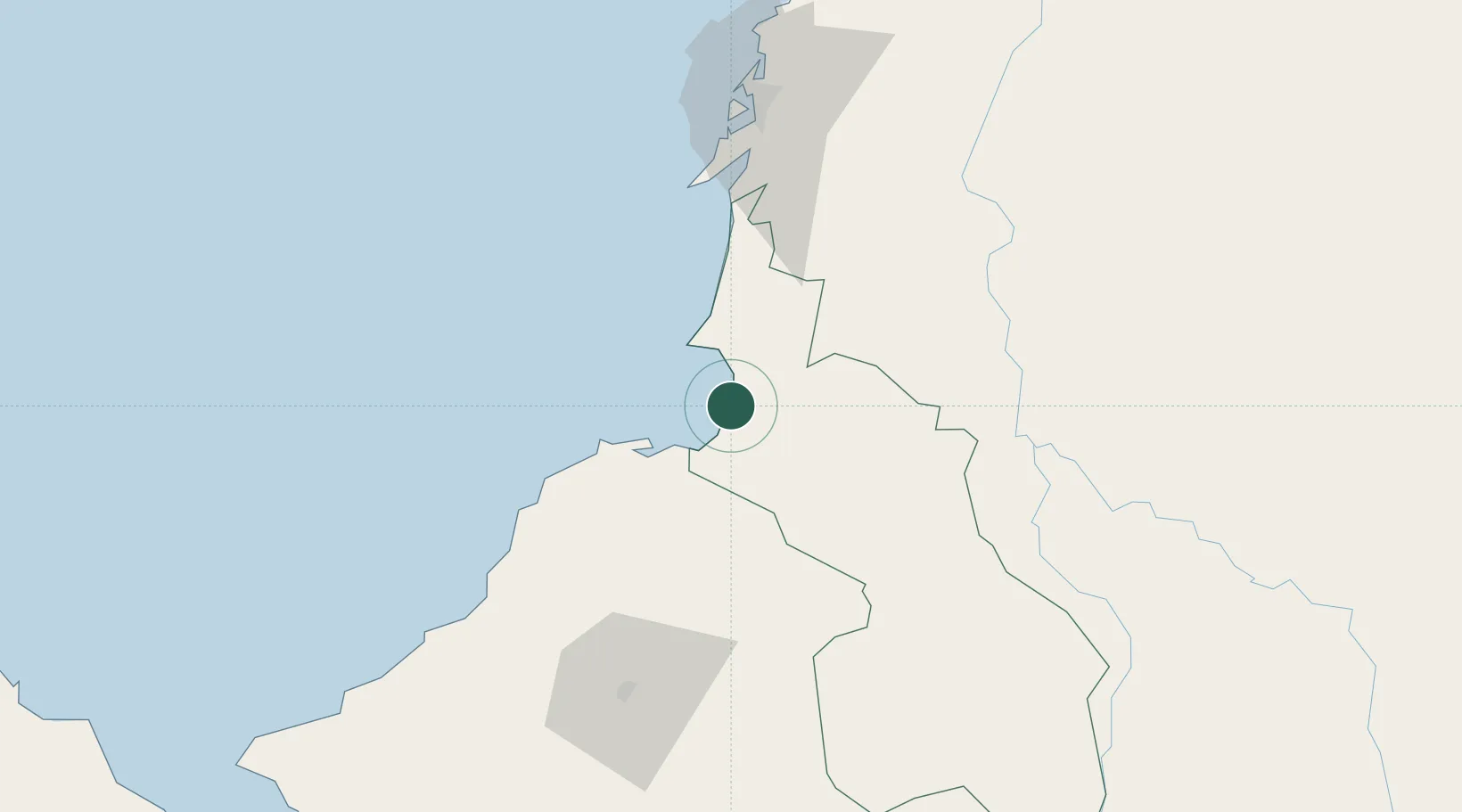
Location
Nearby Logistics Neighbours
Cities
- 1Covenas Offshore Terminal17 km
- 2El Carmen de Bolívar55 km
- 3Puerto Limón68 km
- 4Mamonal88 km
- 5Turbaco89 km
Ports
- 1Covenas Offshore Term.17 km
- 2Covenas17 km
- 3Mamonal87 km
- 4El Bosque97 km
- 5Cartagena98 km
Airports
- 1Golfo de Morrosquillo Airport3 km
- 2Coveñas Airport19 km
- 3Las Brujas Airport40 km
- 4Los Garzones Airport83 km
- 5Baracoa Airport86 km
DatabookThe Record of Consolidated Knowledge
Colombia beyond logistics?