Transport Functions
Port
Hub Profile
Region
SUC
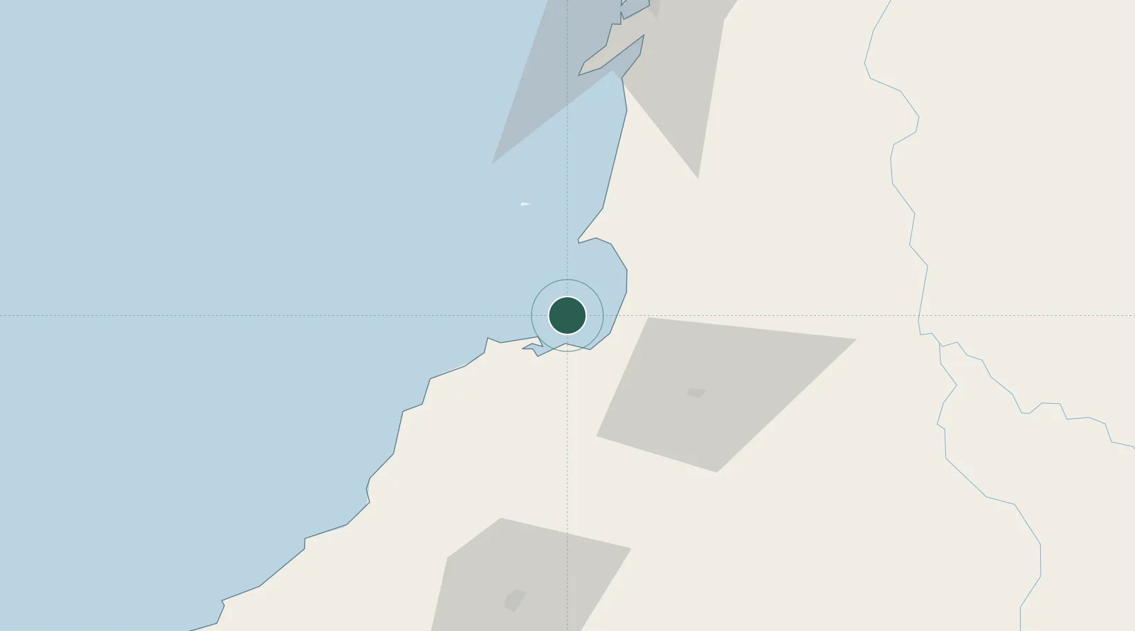
Location
Nearby Logistics Neighbours
Cities
- 1Tolú17 km
- 2Puerto Limón51 km
- 3El Carmen de Bolívar72 km
- 4Mamonal94 km
- 5Rio Cordoba95 km
Airports
- 1Coveñas Airport12 km
- 2Golfo de Morrosquillo Airport16 km
- 3Las Brujas Airport53 km
- 4Los Garzones Airport76 km
- 5Baracoa Airport100 km
DatabookThe Record of Consolidated Knowledge
Colombia beyond logistics?